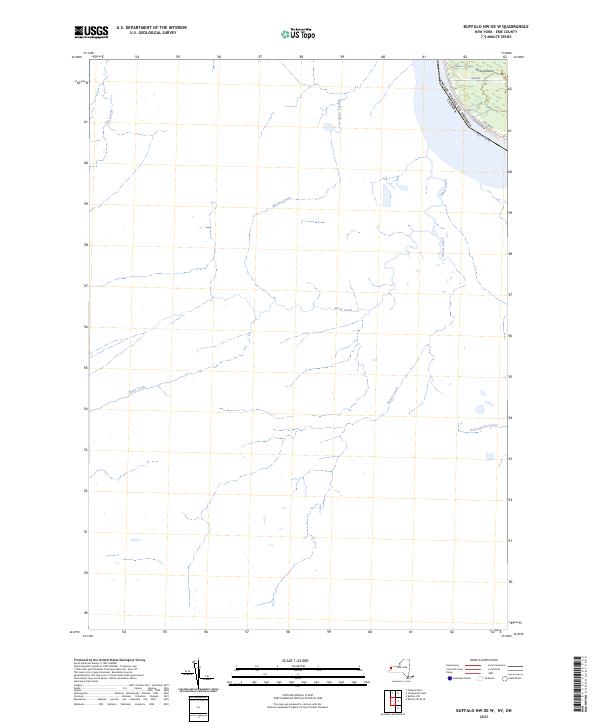
2023 Map of Buffalo NW OE W
USGS Topo · Published 2023About this map
The Niagara River serves as the prominent boundary between the United States and Canada in this coastal landscape. The terrain is defined by the western shoreline of Grand Island, where residential corridors like Love Rd and W River Rd follow the curve of the water. This modern survey illustrates the intricate drainage patterns feeding into the river, including the paths of Tea Creek, Boyer's Creek, and Black Creek. Further inland on the western bank, Frenchman's Creek and Beaver Creek wind through the topography. The map highlights the intersection of international borders and local infrastructure, such as the W River Pkwy, which mirrors the river's edge, reflecting the enduring importance of the waterway to the region's geography and transit.
Find a feature on this map
11 named features on this map. Tap any name to fly to it.
Don’t see what you’re looking for? This feature index may not catch every label — zoom into the map to look around manually.
Map Details
Editions of this 2023 Buffalo NW OE W Map
This is the sole edition of this map. No revisions or reprints were ever made.
Other maps of this area

1894 · Buffalo
USGS Topo · 1:62,500

1894 · Niagara Falls
USGS Topo · 1:62,500

1896 · Niagara Falls
USGS Topo · 1:62,500

1897 · Tonawanda
USGS Topo · 1:62,500

1899 · Niagara
USGS Topo · 1:125,000

1900 · Tonawanda
USGS Topo · 1:62,500

1900 · Niagara Falls
USGS Topo · 1:62,500

1901 · Buffalo
USGS Topo · 1:62,500

1901 · Niagara Falls
USGS Topo · 1:62,500

1901 · Tonawanda
USGS Topo · 1:62,500