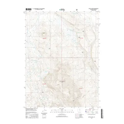
2016 Map of Buffalo Peak
USGS Topo · Published 2016About this map
Buffalo Peak and Buffalo Ridge dominate this high-elevation landscape within the Routt National Forest, illustrating a complex network of early 21st-century water management and recreation trails. The terrain is defined by an extensive system of ditches and reservoirs, such as the Slack-Weiss Reservoir, Two Ledge Reservoir, and Cochrane Ditch, which were engineered to move water across these high basins. These features reveal the critical role of water rights and irrigation in the Jackson County region. Beyond the water infrastructure, the map details numerous named alpine lakes including Kathleen Lake, Deep Lake, and the Arapaho Lakes. The presence of the Arapaho Ridge Trail and landmarks like Bundy Park and Red Hill underscore the area's continued importance for forestry and backcountry access in the Colorado Rockies.
Find a feature on this map
58 named features on this map. Tap any name to fly to it.
Don’t see what you’re looking for? This feature index may not catch every label — zoom into the map to look around manually.
Map Details
Editions of this 2016 Buffalo Peak Map
This is the sole edition of this map. No revisions or reprints were ever made.
Other maps of this area

1954 · Craig
USGS Topo · 1:250,000

1955 · Coalmont
USGS Topo · 1:24,000

1955 · Owl Ridge
USGS Topo · 1:24,000

1955 · Mac Farlane Reservoir
USGS Topo · 1:24,000

1955 · Walden
USGS Topo · 1:62,500

1956 · Spicer Peak
USGS Topo · 1:24,000

1956 · Parkview Mountain
USGS Topo · 1:24,000

1956 · Buffalo Peak
USGS Topo · 1:24,000

1956 · Whiteley Peak
USGS Topo · 1:24,000

1956 · Hyannis Peak
USGS Topo · 1:24,000