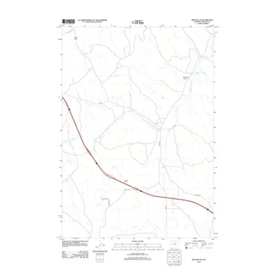
2012 Map of Buffalo SE
USGS Topo · Published 2012About this map
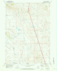
Negro Cr and Dry Cr carve through the high plains of Johnson County, defining the drainage patterns in this landscape of cattle-country infrastructure. The water-scarce environment is managed through features like Redman Ditch, reflecting the historic and ongoing importance of irrigation in the Wyoming interior. Navigating this terrain are several long-established rural routes including Red Hills Rd and Tipperary Rd, which cross the natural erosional features of Evans Draw and McNeese Draw. The sparse road network, featuring Tw Rd and Dry Creek Rd, illustrates the vast spacing between homesteads and ranching hubs in the early 21st century. This survey documents the intersection of topographic draws and the human-made grid of access roads essential for navigating the open range.
Find a feature on this map
13 named features on this map. Tap any name to fly to it.
Don’t see what you’re looking for? This feature index may not catch every label — zoom into the map to look around manually.
Map Details
Editions of this 2012 Buffalo SE Map
This is the sole edition of this map. No revisions or reprints were ever made.
Other maps of this area

1900 · Fort McKinney
USGS Topo · 1:125,000

1903 · Fort McKinney
USGS Topo · 1:125,000

1955 · Sheridan
USGS Topo · 1:250,000

1958 · Sheridan
USGS Topo · 1:250,000

1962 · Sheridan
USGS Topo · 1:250,000
1970 · Buffalo
USGS Topo · 1:24,000

1970 · Buffalo NE
USGS Topo · 1:24,000
1970 · Buffalo SE
USGS Topo · 1:24,000
1970 · Lake De Smet East
USGS Topo · 1:24,000
1970 · T A Ranch
USGS Topo · 1:24,000