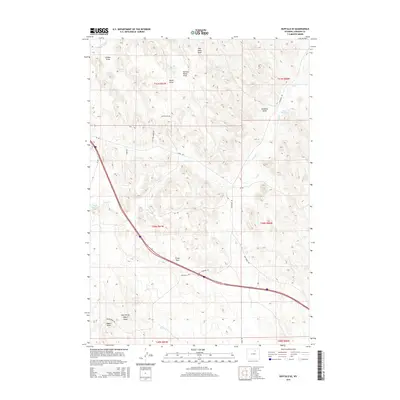
2015 Map of Buffalo SE
USGS Topo · Published 2015About this map
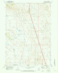
The high plains of t50n r81w and surrounding townships are defined by a complex network of ephemeral watercourses and early 21st-century ranching infrastructure. Arid drainage patterns are visible through numerous named draws, such as North Healy Draw and McNeese Draw, which feed into larger systems like Dry Cr and Negro Cr. Human intervention in this Wyoming landscape is marked by water management features including Redman Ditch, Bob Reservoir, and Brock Reservoir, essential for sustaining life and livestock in Johnson County.
Find a feature on this map
31 named features on this map. Tap any name to fly to it.
Don’t see what you’re looking for? This feature index may not catch every label — zoom into the map to look around manually.
Map Details
Editions of this 2015 Buffalo SE Map
This is the sole edition of this map. No revisions or reprints were ever made.
Other maps of this area

1900 · Fort McKinney
USGS Topo · 1:125,000

1903 · Fort McKinney
USGS Topo · 1:125,000

1955 · Sheridan
USGS Topo · 1:250,000

1958 · Sheridan
USGS Topo · 1:250,000

1962 · Sheridan
USGS Topo · 1:250,000
1970 · Buffalo
USGS Topo · 1:24,000

1970 · Buffalo NE
USGS Topo · 1:24,000
1970 · Buffalo SE
USGS Topo · 1:24,000
1970 · Lake De Smet East
USGS Topo · 1:24,000
1970 · T A Ranch
USGS Topo · 1:24,000