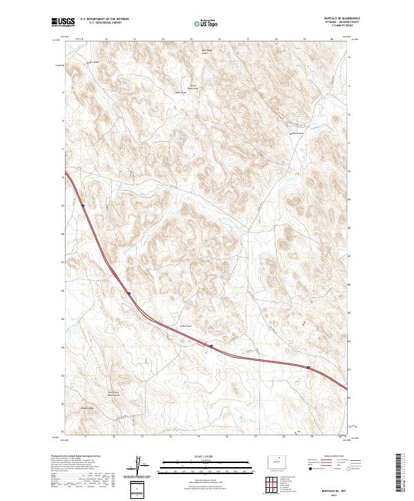
2021 Map of Buffalo SE
USGS Topo · Published 2021About this map
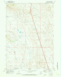
The Petrified Forest Site highlights a unique geological pocket of Johnson County, situated among a network of drainages such as McNeese Draw and Healy Draw. This modern look at the high plains landscape reveals a sparse but deliberate network of ranch roads and specialized corridors like Camino Mines Rd and High Plains Rd. The water management of the region is evident through features like Redman Ditch, which cuts across the northern terrain to redirect the flow of the local creeks. Seasonal watercourses including Negro Cr and Dry Cr carve through the draws, defining the grazing and mineral exploration patterns that characterize this part of Wyoming's eastern foothills. The map documents a landscape where traditional land use and natural curiosities intersect along modern transit lines.
Find a feature on this map
29 named features on this map. Tap any name to fly to it.
Don’t see what you’re looking for? This feature index may not catch every label — zoom into the map to look around manually.
Map Details
Editions of this 2021 Buffalo SE Map
This is the sole edition of this map. No revisions or reprints were ever made.
Other maps of this area

1900 · Fort McKinney
USGS Topo · 1:125,000

1903 · Fort McKinney
USGS Topo · 1:125,000

1955 · Sheridan
USGS Topo · 1:250,000

1958 · Sheridan
USGS Topo · 1:250,000

1962 · Sheridan
USGS Topo · 1:250,000
1970 · Buffalo
USGS Topo · 1:24,000

1970 · Buffalo NE
USGS Topo · 1:24,000
1970 · Buffalo SE
USGS Topo · 1:24,000
1970 · Lake De Smet East
USGS Topo · 1:24,000
1970 · T A Ranch
USGS Topo · 1:24,000