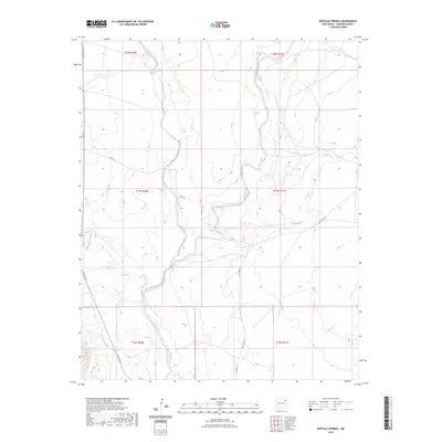
2023 Map of Buffalo Springs
USGS Topo · Published 2023About this map
Buffalo Springs serves as a primary water source in this corner of Harding County, where the high plains landscape is defined by the winding course of Tequesquite Creek. The drainage of Mosquero Creek enters from the west, feeding into a network of intermittent streams that have shaped the local topography. This 2023 survey illustrates the sparse but essential rural infrastructure that supports cattle ranching in the region, including gravel connectors like Salt Lakes Rd and Back Rd. The map detail captures the remote character of this New Mexico territory, delineated by the Public Land Survey System grids including t17n r31e and t16n r31e, highlighting the persistent isolation and specialized water management required in the arid Southwest.
Find a feature on this map
14 named features on this map. Tap any name to fly to it.
Don’t see what you’re looking for? This feature index may not catch every label — zoom into the map to look around manually.
Map Details
Editions of this 2023 Buffalo Springs Map
This is the sole edition of this map. No revisions or reprints were ever made.
Other maps of this area

1954 · Tucumcari
USGS Topo · 1:250,000

1958 · Tucumcari
USGS Topo · 1:250,000

1969 · Gallegos
USGS Topo · 1:24,000

1969 · Gallegos NE
USGS Topo · 1:24,000

1969 · Salitre Canyon
USGS Topo · 1:24,000
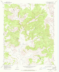
1969 · Alamosa Canyon
USGS Topo · 1:24,000

1969 · Buffalo Springs
USGS Topo · 1:24,000
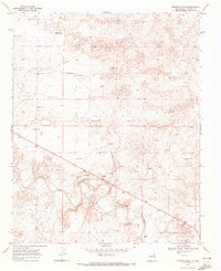
1969 · Fuentes Ranch
USGS Topo · 1:24,000

1973 · Circle Bar Ranch
USGS Topo · 1:24,000
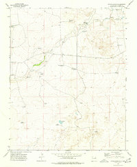
1973 · Indian Bathtub
USGS Topo · 1:24,000