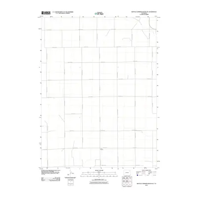
2010 Map of Buffalo Springs Ranch SE
USGS Topo · Published 2010About this map
Curtis Cemetery provides a focal point for local history in this rural corner of Washington County, situated near the intersection of County Road LL and County Road 48. The landscape is defined by a strict orthogonal grid of section roads, including long north-south stretches of County Road HH and County Road NN, which navigate the open high plains of eastern Colorado. This rigid human-imposed geometry is only interrupted in the northeast by the winding course of Rock Creek, which cuts diagonally across the prairie. The map documents the persistent agricultural footprint of the region, where the intersection of numeric and alphabetical county roads represents the fundamental infrastructure of the ranching community.
Find a feature on this map
18 named features on this map. Tap any name to fly to it.
Don’t see what you’re looking for? This feature index may not catch every label — zoom into the map to look around manually.
Map Details
Editions of this 2010 Buffalo Springs Ranch SE Map
This is the sole edition of this map. No revisions or reprints were ever made.
Other maps of this area

1954 · Sterling
USGS Topo · 1:250,000

1958 · Sterling
USGS Topo · 1:250,000

1972 · Glacken Hill
USGS Topo · 1:24,000

1972 · Otis
USGS Topo · 1:24,000

1972 · Burdett
USGS Topo · 1:24,000

1973 · Akron
USGS Topo · 1:24,000

1973 · Buffalo Springs Ranch NW
USGS Topo · 1:24,000

1973 · Platner
USGS Topo · 1:24,000

1973 · Buffalo Springs Ranch NE
USGS Topo · 1:24,000

1973 · Buffalo Springs Ranch SE
USGS Topo · 1:24,000