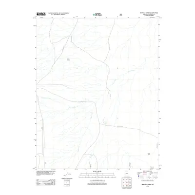
2012 Map of Buffalo Tanks
USGS Topo · Published 2012About this map
Cane Canyon and the surrounding high desert of Coconino County are defined by a network of drainage systems and cattle infrastructure as they appeared in 2012. The landscape is marked by the presence of Buffalo Tanks, a critical water point for ranching operations in this arid region. The drainage patterns are clearly delineated, with Pleasant Valley Outlet and the wandering paths of N Canyon Wash cutting through the terrain.
Find a feature on this map
8 named features on this map. Tap any name to fly to it.
Don’t see what you’re looking for? This feature index may not catch every label — zoom into the map to look around manually.
Map Details
Editions of this 2012 Buffalo Tanks Map
This is the sole edition of this map. No revisions or reprints were ever made.
Other maps of this area

1886 · Echo Cliffs
USGS Topo · 1:250,000

1886 · Kaibab
USGS Topo · 1:250,000

1891 · Echo Cliffs
USGS Topo · 1:250,000

1936 · Jacobs Lake
USGS Topo · 1:48,000

1940 · Jacob Lake
USGS Topo · 1:62,500

1953 · Jacobs Lake
USGS Topo · 1:62,500

1953 · Grand Canyon
USGS Topo · 1:250,000

1954 · Emmett Wash NE
USGS Topo · 1:24,000

1954 · Emmett Wash NW
USGS Topo · 1:24,000

1954 · Nankoweap
USGS Topo · 1:62,500