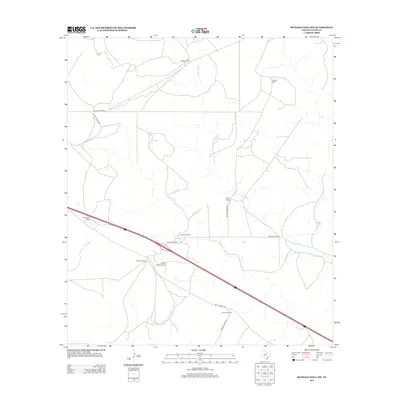
2012 Map of Buffalo Well SW
USGS Topo · Published 2012About this map
The N Llano River winds through this expanse of Sutton County, Texas, defining a landscape dominated by large ranching estates and sparse aviation infrastructure. During this early 21st-century period, the territory is characterized by its network of private thoroughfares and rural routes, such as Ranch Road 864 and Ranch Road 3307, which connect a series of family-named holdings. Local history and genealogical interest center on these established ranching boundaries, including the Halbert Ranch, G Allison Ranch, and the Schwiening Ranch. The presence of the Allison Ranch Airport near the S Allison Ranch highlights the importance of private flight in navigating this expansive Texas terrain, where the traditional cattle-rearing economy meets modern transit requirements.
Find a feature on this map
17 named features on this map. Tap any name to fly to it.
Don’t see what you’re looking for? This feature index may not catch every label — zoom into the map to look around manually.
Map Details
Editions of this 2012 Buffalo Well SW Map
This is the sole edition of this map. No revisions or reprints were ever made.
Other maps of this area

1893 · Rock Springs
USGS Topo · 1:125,000

1893 · Fort McKavett
USGS Topo · 1:125,000

1954 · Sonora
USGS Topo · 1:250,000

1958 · Sonora
USGS Topo · 1:250,000

1963 · Steen Lake
USGS Topo · 1:24,000

1963 · Buffalo Well
USGS Topo · 1:24,000

1963 · Live Oak Draw
USGS Topo · 1:24,000

1963 · Buffalo Well NW
USGS Topo · 1:24,000

1963 · Buffalo Well SE
USGS Topo · 1:24,000

1963 · Buffalo Well SW
USGS Topo · 1:24,000