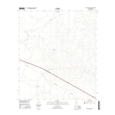
2016 Map of Buffalo Well SW
USGS Topo · Published 2016About this map
The N Llano River and its tributary drainage systems shape this portion of the Edwards Plateau in Sutton County. This landscape is defined by its ranching infrastructure, most notably the JL Bar Ranch Airport, which serves as a remote aviation landmark in this sparsely populated region. The terrain is marked by significant topographical features such as Eightmile Draw and North Llano Draw, which direct the flow of seasonal water through the winding canyons typical of West Texas.
Find a feature on this map
10 named features on this map. Tap any name to fly to it.
Don’t see what you’re looking for? This feature index may not catch every label — zoom into the map to look around manually.
Map Details
Editions of this 2016 Buffalo Well SW Map
This is the sole edition of this map. No revisions or reprints were ever made.
Other maps of this area

1893 · Rock Springs
USGS Topo · 1:125,000

1893 · Fort McKavett
USGS Topo · 1:125,000

1954 · Sonora
USGS Topo · 1:250,000

1958 · Sonora
USGS Topo · 1:250,000

1963 · Steen Lake
USGS Topo · 1:24,000

1963 · Buffalo Well
USGS Topo · 1:24,000

1963 · Live Oak Draw
USGS Topo · 1:24,000

1963 · Buffalo Well NW
USGS Topo · 1:24,000

1963 · Buffalo Well SE
USGS Topo · 1:24,000

1963 · Buffalo Well SW
USGS Topo · 1:24,000