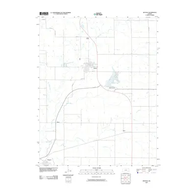
2009 Map of Buffalo
USGS Topo · Published 2009About this map
The town of Buffalo serves as the central hub of this eastern Kansas landscape, situated where the grid of rural roads meets the winding path of East Buffalo Creek. The town's layout is clearly defined by local streets such as Micro Lite St, Fife St, and S Pacific St. To the north, the Buffalo Cemetery provides a focal point for genealogical interest near the banks of Bloody Run.
Find a feature on this map
22 named features on this map. Tap any name to fly to it.
Don’t see what you’re looking for? This feature index may not catch every label — zoom into the map to look around manually.
Map Details
Editions of this 2009 Buffalo Map
This is the sole edition of this map. No revisions or reprints were ever made.
Other maps of this area

1886 · Fredonia
USGS Topo · 1:125,000

1894 · Fredonia
USGS Topo · 1:125,000

1938 · Fredonia
USGS Topo · 1:62,500

1938 · Altoona
USGS Topo · 1:62,500

1939 · Altoona
USGS Topo · 1:48,000

1939 · Fredonia
USGS Topo · 1:48,000

1942 · Fredonia
USGS Topo · 1:62,500

1943 · Fredonia
USGS Topo · 1:62,500

1943 · Altoona
USGS Topo · 1:62,500

1947 · Joplin
USGS Topo · 1:250,000