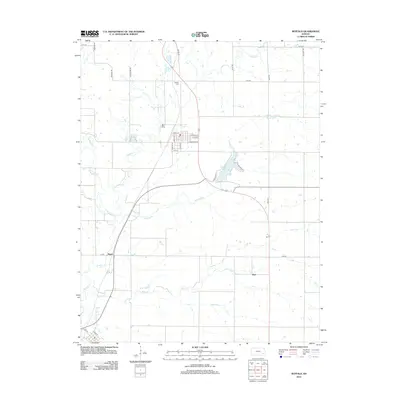
2012 Map of Buffalo
USGS Topo · Published 2012About this map
Buffalo serves as the primary hub of this eastern Kansas landscape, with its residential grid including streets like E Elm St and S Pacific St. The town is supported by essential rural infrastructure such as the local Post Office and the nearby Buffalo Cemetery. Beyond the town center, the terrain is defined by a dense network of waterways including Bloody Run, E Buffalo Creek, and W Buffalo Creek, which converge to form Buffalo Creek.
Find a feature on this map
35 named features on this map. Tap any name to fly to it.
Don’t see what you’re looking for? This feature index may not catch every label — zoom into the map to look around manually.
Map Details
Editions of this 2012 Buffalo Map
This is the sole edition of this map. No revisions or reprints were ever made.
Other maps of this area

1886 · Fredonia
USGS Topo · 1:125,000

1894 · Fredonia
USGS Topo · 1:125,000

1938 · Fredonia
USGS Topo · 1:62,500

1938 · Altoona
USGS Topo · 1:62,500

1939 · Altoona
USGS Topo · 1:48,000

1939 · Fredonia
USGS Topo · 1:48,000

1942 · Fredonia
USGS Topo · 1:62,500

1943 · Fredonia
USGS Topo · 1:62,500

1943 · Altoona
USGS Topo · 1:62,500

1947 · Joplin
USGS Topo · 1:250,000