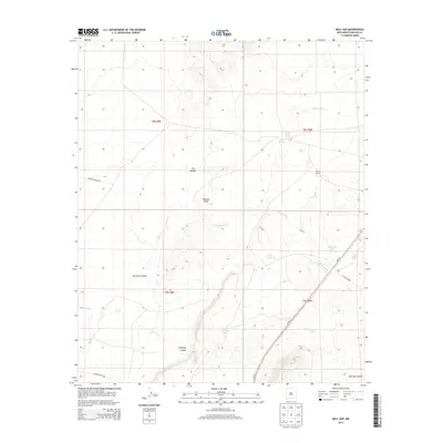
2013 Map of Bull Gap
USGS Topo · Published 2013About this map
The Malpais dominates the high desert landscape of this Lincoln County corridor, where the dark volcanic features of the Tularosa Valley meet the rugged drainages of the Sacramento Mountains. Essential water sources define the human geography of this arid region, including Bull Gap Spring and Willow Springs, which historically supported ranching operations like the Sprole Ranch. The map illustrates a landscape of deep relief, from the depths of Rim Rock Canyon and Bull Gap Canyon to the ephemeral flows of Cottonwood Cr and Harkey Draw. Transportation routes such as Us-54 N and CO Road A004 skirt these geographic obstacles, connecting isolated stock tanks like Twin Tanks and Highway Tank across the high plains.
Find a feature on this map
25 named features on this map. Tap any name to fly to it.
Don’t see what you’re looking for? This feature index may not catch every label — zoom into the map to look around manually.
Map Details
Editions of this 2013 Bull Gap Map
This is the sole edition of this map. No revisions or reprints were ever made.
Other maps of this area

1916 · Tularosa
USGS Topo · 1:125,000

1918 · Oscura Peak
USGS Topo · 1:125,000

1938 · Carrizozo
USGS Topo · 1:48,000

1943 · Carrizozo
USGS Topo · 1:62,500

1947 · Three Rivers
USGS Topo · 1:62,500

1948 · Chihuahua Ranch
USGS Topo · 1:62,500

1950 · Oscura
USGS Topo · 1:24,000

1950 · Carrizozo
USGS Topo · 1:62,500

1950 · Sierra Blanca Peak
USGS Topo · 1:62,500

1954 · Tularosa
USGS Topo · 1:250,000