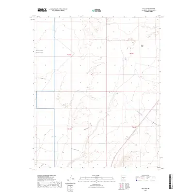
2023 Map of Bull Gap
USGS Topo · Published 2023About this map
White Sands Missile Range dominates the western portion of this landscape, marking a clear boundary between restricted government land and the high desert of Lincoln County. This 2023 survey delineates a rugged terrain defined by sharp topographical changes, most notably where Rim Rock Canyon and Bull Gap Canyon carve into the earth. Water sources are critical identifiers in this arid region, from the cluster of Willow Springs and Lower Willow Spring in the north to isolated points like Dalton Spring and Root Spring. The presence of improved ranch infrastructure, such as the I Bar X Ranch Rd, suggests the ongoing integration of livestock operations within this complex geography of canyons and draws.
Find a feature on this map
20 named features on this map. Tap any name to fly to it.
Don’t see what you’re looking for? This feature index may not catch every label — zoom into the map to look around manually.
Map Details
Editions of this 2023 Bull Gap Map
This is the sole edition of this map. No revisions or reprints were ever made.
Other maps of this area

1916 · Tularosa
USGS Topo · 1:125,000

1918 · Oscura Peak
USGS Topo · 1:125,000

1938 · Carrizozo
USGS Topo · 1:48,000

1943 · Carrizozo
USGS Topo · 1:62,500

1947 · Three Rivers
USGS Topo · 1:62,500

1948 · Chihuahua Ranch
USGS Topo · 1:62,500

1950 · Oscura
USGS Topo · 1:24,000

1950 · Carrizozo
USGS Topo · 1:62,500

1950 · Sierra Blanca Peak
USGS Topo · 1:62,500

1954 · Tularosa
USGS Topo · 1:250,000