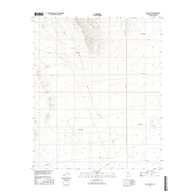
2017 Map of Bull Gap SW
USGS Topo · Published 2017About this map
Water management and strategic access roads dominate this section of Lincoln County, characterized by a complex network of routes managed by the White Sands Missile Range. Family-named livestock water sources like Sam Dillard Tank and J S Dillard Tank suggest a ranching history that predates or coexists with the military land use of the mid-20th century. The terrain is defined by drainage patterns like Harkey Draw and a system of graded and primitive roads, including Wsmr S Rt 335 and Wsmr P Rt 11, which grid the arid landscape. These features provide a look at how administrative and military boundaries have preserved specific topographic and hydrological elements, such as the A A A Tank, within a restricted-access corridor.
Find a feature on this map
15 named features on this map. Tap any name to fly to it.
Don’t see what you’re looking for? This feature index may not catch every label — zoom into the map to look around manually.
Map Details
Editions of this 2017 Bull Gap SW Map
This is the sole edition of this map. No revisions or reprints were ever made.
Other maps of this area

1916 · Tularosa
USGS Topo · 1:125,000

1918 · Oscura Peak
USGS Topo · 1:125,000

1947 · Three Rivers
USGS Topo · 1:62,500

1947 · Capitol Peak
USGS Topo · 1:62,500

1948 · Chihuahua Ranch
USGS Topo · 1:62,500

1948 · Mockingbird Gap
USGS Topo · 1:62,500

1950 · Oscura
USGS Topo · 1:24,000

1954 · Tularosa
USGS Topo · 1:250,000

1958 · Tularosa
USGS Topo · 1:250,000
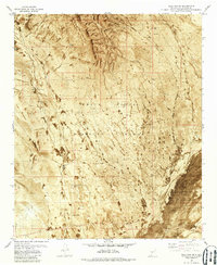
1981 · Bull Gap SW
USGS Topo · 1:24,000