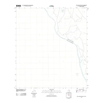
2010 Map of Bull Hollow Tank
USGS Topo · Published 2010About this map
The Rio Grande serves as the central geographic and political focus of this borderland survey, marking the international boundary between the United States of America and Estados Unidos Mexicanos. The landscape in this portion of Webb County is defined by the winding course of the river and its local tributaries, such as San Lorenzo Creek, which enters from the Texas side. This 2010 digital cartographic product captures the area as it appeared in the early 21st century, showing the sparse infrastructure and physical topography typical of the South Texas brush country. While largely devoid of named settlements, the map provides a precise record of the river's path and the drainage patterns that have historically shaped land use and ranching in this remote border region.
Find a feature on this map
4 named features on this map. Tap any name to fly to it.
Don’t see what you’re looking for? This feature index may not catch every label — zoom into the map to look around manually.
Map Details
Editions of this 2010 Bull Hollow Tank Map
This is the sole edition of this map. No revisions or reprints were ever made.
Other maps of this area

1923 · Palafox
USGS Topo · 1:62,500

1929 · Cotulla
USGS Topo · 1:125,000

1940 · San Loranzo Creek
USGS Topo · 1:62,500

1940 · Chupadera
USGS Topo · 1:62,500

1953 · Crystal City
USGS Topo · 1:250,000

1955 · Crystal City
USGS Topo · 1:250,000

1956 · Laredo
USGS Topo · 1:250,000

1958 · Eagle Pass
USGS Topo · 1:250,000

1961 · Crystal City
USGS Topo · 1:250,000

1965 · Eagle Pass
USGS Topo · 1:250,000