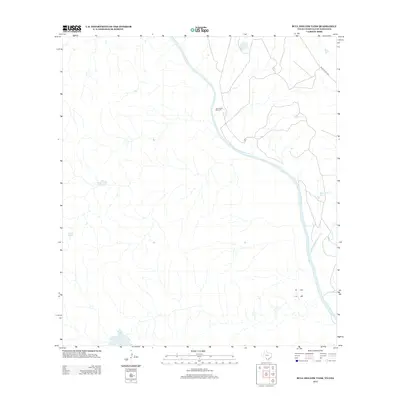
2012 Map of Bull Hollow Tank
USGS Topo · Published 2012About this map
The Rio Grande defines the character of this arid borderlands landscape, meandering through a network of dry creek beds and draws. Local water management is central to life in this part of Webb County, as evidenced by the Bull Hollow Tank and drainage from the San Lorenzo Cr. Human impact is sparse but strategic, with the Juan Reyes Windmill standing as a key landmark for livestock and land management in the brush country. Modern infrastructure is represented by Ranch Road 1472, which provides the primary transit artery through the eastern portion of the survey. The map records the interface between the international river boundary and the working ranchlands that have long shaped the Texas-Mexico border region.
Find a feature on this map
6 named features on this map. Tap any name to fly to it.
Don’t see what you’re looking for? This feature index may not catch every label — zoom into the map to look around manually.
Map Details
Editions of this 2012 Bull Hollow Tank Map
This is the sole edition of this map. No revisions or reprints were ever made.
Other maps of this area

1923 · Palafox
USGS Topo · 1:62,500

1929 · Cotulla
USGS Topo · 1:125,000

1940 · San Loranzo Creek
USGS Topo · 1:62,500

1940 · Chupadera
USGS Topo · 1:62,500

1953 · Crystal City
USGS Topo · 1:250,000

1955 · Crystal City
USGS Topo · 1:250,000

1956 · Laredo
USGS Topo · 1:250,000

1958 · Eagle Pass
USGS Topo · 1:250,000

1961 · Crystal City
USGS Topo · 1:250,000

1965 · Eagle Pass
USGS Topo · 1:250,000