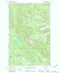
1966 Map of Bull Lake
USGS Topo · Published 1984About this map
Stryker Ridge and the high summits of the Whitefish Range dominate this 1966 topographic survey, which was later updated with 1982 aerial photography. The map documents the convergence of three major public lands: Stillwater State Forest, Flathead National Forest, and Kootenai National Forest. This intersection of jurisdictions covers a complex landscape of glacial lakes and river drainages, including the Stillwater River, Bull Lake, and the remote Sunday Lakes.
Find a feature on this map
30 named features on this map. Tap any name to fly to it.
Don’t see what you’re looking for? This feature index may not catch every label — zoom into the map to look around manually.
Map Details
Editions of this 1966 Bull Lake Map
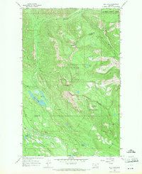
2 editions found
Other maps of this area

1913 · Stryker
USGS Topo · 1:125,000

1916 · Stryker
USGS Topo · 1:125,000

1957 · Kalispell
USGS Topo · 1:250,000

1960 · Kalispell
USGS Topo · 1:250,000

1961 · Kalispell
USGS Topo · 1:250,000

1963 · Mount Marston
USGS Topo · 1:24,000

1963 · Stryker
USGS Topo · 1:24,000

1963 · Sunday Mountain
USGS Topo · 1:24,000
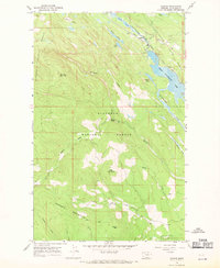
1966 · Radnor
USGS Topo · 1:24,000

1966 · Red Meadow Lake
USGS Topo · 1:24,000