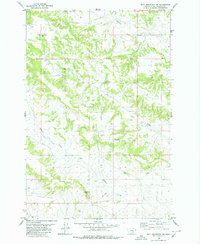
1980 Map of Bull Mountain NW
USGS Topo · Published 1980About this map
Hibbard Creek and Antelope Creek carve through the high plains of Yellowstone County in this 1970s-era topographic study. The landscape is defined by its drainage patterns and prominent summits like Eddleman and Castle Butte, the latter of which serves as a landmark for the nearby Castle Butte Cemetery. This sparsely populated region of Montana is primarily marked by natural features and livestock infrastructure, evidenced by the numerous scattered wells and seasonal watercourses such as Mill Creek and Cow Creek. An unimproved Jeep Trail provides one of the few named traversals through the undulating terrain near the southern boundary, reflecting the area's role as ranchland and open range at the time of the survey. The mapping reveals a land of vast distances where small, localized landmarks like cemeteries and high points were essential for navigation and community identity.
Find a feature on this map
14 named features on this map. Tap any name to fly to it.
Don’t see what you’re looking for? This feature index may not catch every label — zoom into the map to look around manually.
Map Details
Editions of this 1980 Bull Mountain NW Map
2 editions found
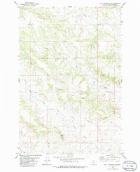
Other maps of this area

1954 · Forsyth
USGS Topo · 1:250,000

1954 · Roundup
USGS Topo · 1:250,000

1957 · Forsyth
USGS Topo · 1:250,000

1958 · Roundup
USGS Topo · 1:250,000

1958 · Forsyth
USGS Topo · 1:250,000
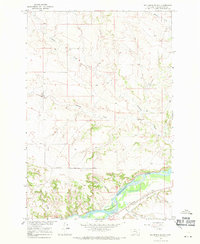
1967 · Big Marys Island
USGS Topo · 1:24,000
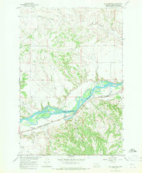
1967 · Bull Mountain
USGS Topo · 1:24,000

1979 · Roundup
USGS Topo · 1:100,000

1979 · Hysham
USGS Topo · 1:100,000

1980 · Mud Butte
USGS Topo · 1:24,000