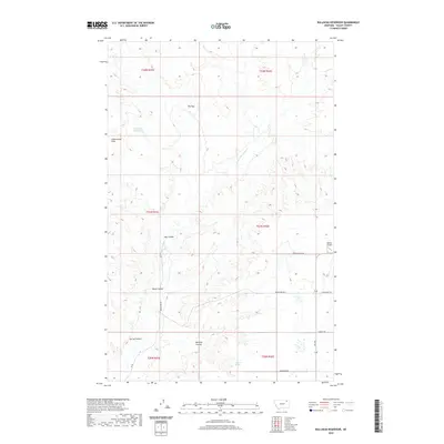
2020 Map of Bullhead Reservoir
USGS Topo · Published 2020About this map
Bullhead Reservoir and the surrounding high plains of Valley County define this section of the Frazer District. The landscape is deeply etched by a network of drainage channels, including Hay Coulee, Black Coulee, and Bonnies Coulee, which navigate the elevation changes between the Calderwood Hills and the winding course of E Fork Porcupine Cr. These geographic features dictate the sparse settlement patterns of this arid region, where water sources like Gillman Spring were historically vital.
Find a feature on this map
21 named features on this map. Tap any name to fly to it.
Don’t see what you’re looking for? This feature index may not catch every label — zoom into the map to look around manually.
Map Details
Editions of this 2020 Bullhead Reservoir Map
This is the sole edition of this map. No revisions or reprints were ever made.
Other maps of this area

1915 · Spring Creek
USGS Topo · 1:62,500

1918 · Porcupine Valley
USGS Topo · 1:62,500

1954 · Glasgow
USGS Topo · 1:250,000

1957 · Glasgow
USGS Topo · 1:250,000

1958 · Glasgow
USGS Topo · 1:250,000

1973 · Baylor SE
USGS Topo · 1:24,000

1973 · Larslan
USGS Topo · 1:24,000

1973 · Cameron Point
USGS Topo · 1:24,000
1983 · Spring Creek SW
USGS Topo · 1:24,000
1983 · Bullhead Reservoir
USGS Topo · 1:24,000