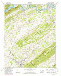
1962 Map of Bulls Gap
USGS Topo · Published 1978About this map
The Southern Railway serves as a central artery for this region of East Tennessee, intersecting with the Andrew Johnson Highway at the junction of Bulls Gap. This 1962 photogrammetric revision reveals a landscape shaped by both the Holston River and the subsequent impoundment of Cherokee Lake, which borders the Cherokee Reservation Boundary. To the south, the topography rises sharply into the ridgelines of Bays Mountain and Sheepbed Mountain, creating natural barriers that funnel transport and settlement through gaps and along the base of Nenny Ridge. Genealogists will find a wealth of family-named landmarks, from the numerous burial sites such as McCullough Cem and Reynolds Cem to the long-standing community centers like Bulls Gap High Sch and Thorps Chapel. Smaller settlements like St Clair, Persia, and Otes are documented alongside historic industry markers such as Austins Mill.
Find a feature on this map
92 named features on this map. Tap any name to fly to it.
Don’t see what you’re looking for? This feature index may not catch every label — zoom into the map to look around manually.
Map Details
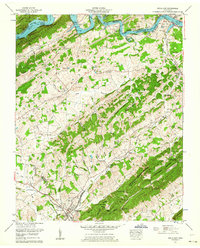
Editions of this 1962 Bulls Gap Map
2 editions found
Other maps of this area

1883 · Morristown
USGS Topo · 1:125,000

1892 · Greeneville
USGS Topo · 1:125,000

1893 · Morristown
USGS Topo · 1:125,000

1895 · Morristown
USGS Topo · 1:125,000

1896 · Greeneville
USGS Topo · 1:125,000

1904 · Greeneville
USGS Topo · 1:125,000

1935 · Surgoinsville
USGS Topo · 1:48,000

1935 · Rogersville
USGS Topo · 1:48,000

1935 · Lee Valley
USGS Topo · 1:24,000

1935 · McCloud
USGS Topo · 1:24,000