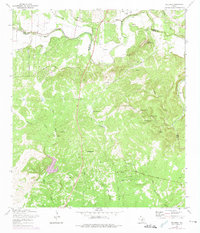
1967 Map of Bulverde
USGS Topo · Published 1975About this map
The boundary between Comal and Bexar counties cuts through this landscape of the Texas Hill Country, where family heritage is deeply etched into the terrain. Numerous family burial grounds, including the Schlather Cem, Weidner Cem, and Pena Cem, are scattered across the hills, often situated near historic homesteads and ranch roads. The spiritual life of the community centers on St Pauls Ch, while the physical geography is defined by the winding course of Cibolo Creek and its many seasonal tributaries like Mustang Creek and Meusebach Creek.
Find a feature on this map
41 named features on this map. Tap any name to fly to it.
Don’t see what you’re looking for? This feature index may not catch every label — zoom into the map to look around manually.
Map Details
Editions of this 1967 Bulverde Map
2 editions found
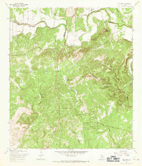
Other maps of this area

1920 · Smithsons Valley
USGS Topo · 1:62,500

1927 · Smithson Valley
USGS Topo · 1:62,500

1929 · Smithson Valley
USGS Topo · 1:62,500

1940 · Smithson Valley
USGS Topo · 1:62,500

1953 · Otis Ridge
USGS Topo · 1:24,000

1953 · Schertz
USGS Topo · 1:24,000

1953 · Bulverde
USGS Topo · 1:24,000

1953 · Bat Cave
USGS Topo · 1:24,000

1953 · Longhorn
USGS Topo · 1:24,000

1953 · Castle Hills
USGS Topo · 1:24,000