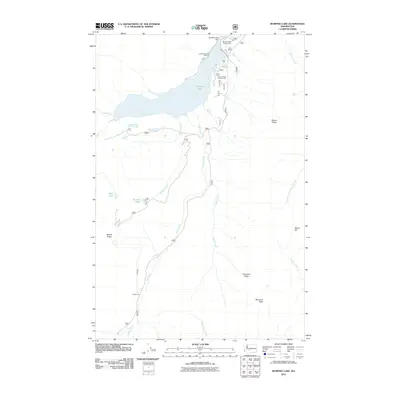
2011 Map of Bumping Lake
USGS Topo · Published 2011About this map
Bumping Lake and its managed water levels dominate this high-elevation landscape in Yakima County, centered on the Bumping Lake Dam and the recreation facilities that line its northeastern shore. The 2011 survey documents the infrastructure of the Bumping Lake Marina along with the Bumping Dam Campground and Boat Landing Campground, reflecting the area's development for public access. The terrain is defined by steep ridges and high summits, including Nelson Ridge and Mount Aix to the east, while Miners Ridge overlooks the western drainages.
Find a feature on this map
25 named features on this map. Tap any name to fly to it.
Don’t see what you’re looking for? This feature index may not catch every label — zoom into the map to look around manually.
Map Details
Editions of this 2011 Bumping Lake Map
This is the sole edition of this map. No revisions or reprints were ever made.
Other maps of this area

1902 · Mount Aix
USGS Topo · 1:125,000

1904 · Mt Aix
USGS Topo · 1:125,000

1950 · Yakima
USGS Topo · 1:250,000

1958 · Yakima
USGS Topo · 1:250,000

1961 · Yakima
USGS Topo · 1:250,000

1962 · Bumping Lake
USGS Topo · 1:62,500

1962 · White Pass
USGS Topo · 1:62,500

1967 · Rimrock Lake
USGS Topo · 1:24,000
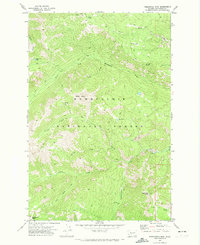
1971 · Timberwolf Mtn
USGS Topo · 1:24,000
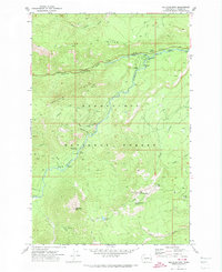
1971 · Old Scab Mtn.
USGS Topo · 1:24,000