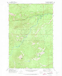
1971 Map of Old Scab Mtn.
USGS Topo · Published 1974About this map
Snoqualmie National Forest dominates this mountain landscape, where the confluence of the American River and Bumping River created a focal point for backcountry recreation and forestry management in the early 1970s. The presence of numerous designated sites like American Forks Campground and Indian Flat Campground reflects the area's established role as a recreational gateway within the Cascade Range.
Find a feature on this map
39 named features on this map. Tap any name to fly to it.
Don’t see what you’re looking for? This feature index may not catch every label — zoom into the map to look around manually.
Map Details
Editions of this 1971 Old Scab Mtn. Map
2 editions found

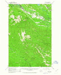
Other maps of this area

1901 · Snoqualmie Pass
USGS Topo · 1:125,000

1902 · Mount Aix
USGS Topo · 1:125,000

1903 · Snoqualmie
USGS Topo · 1:125,000

1904 · Mt Aix
USGS Topo · 1:125,000

1950 · Yakima
USGS Topo · 1:250,000

1957 · Wenatchee
USGS Topo · 1:250,000

1958 · Yakima
USGS Topo · 1:250,000

1961 · Yakima
USGS Topo · 1:250,000
1961 · Easton
USGS Topo · 1:62,500
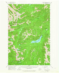
1962 · Bumping Lake
USGS Topo · 1:62,500