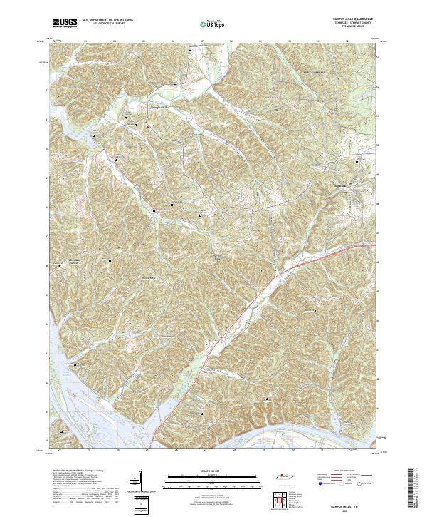
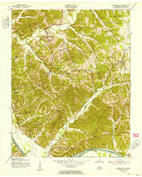
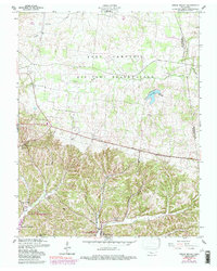
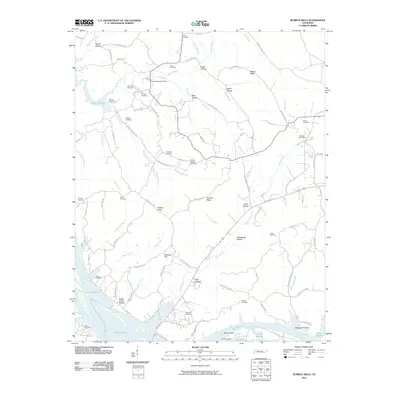
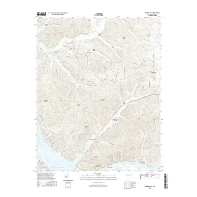
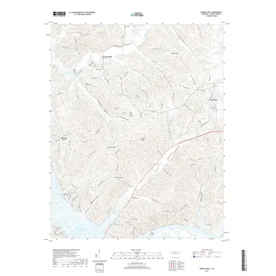
2022 Map of Bumpus Mills
USGS Topo · Published 2022About this map
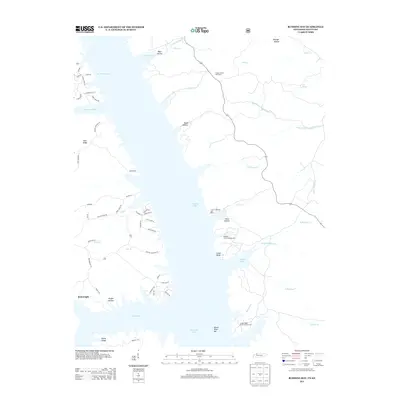
Bumpus Mills and the surrounding Stewart County countryside are defined by the intricate drainage systems that feed into the Cumberland River and Lake Barkley. This 2022 survey captures a landscape deeply rooted in family history, evidenced by the numerous small burial grounds such as the George Wallace Cem, Lottie Wallace Cem, and Crow Cem tucked into the hollows. The settlement of Big Rock sits to the east, while Chestnut Grove marks the western reach of the map.
Find a feature on this map
131 named features on this map. Tap any name to fly to it.
Don’t see what you’re looking for? This feature index may not catch every label — zoom into the map to look around manually.
Map Details
Editions of this 2022 Bumpus Mills Map
This is the sole edition of this map. No revisions or reprints were ever made.
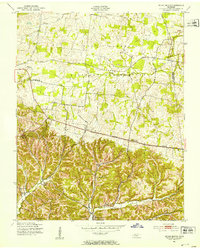
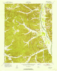
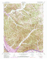
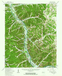
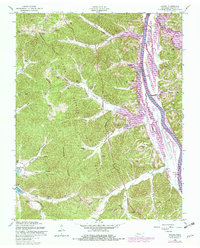
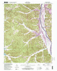
Historical Maps of Bumpus Mills Through Time
36 maps found
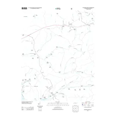
1936 Standing Rock
Stewart County, TN
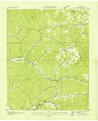
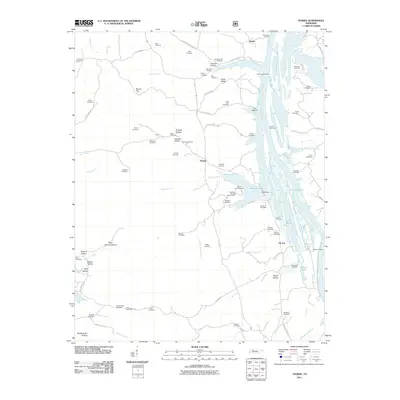
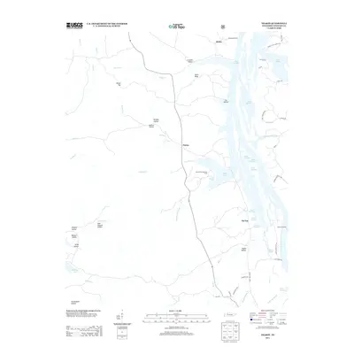
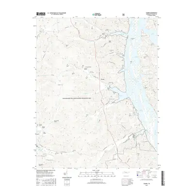
1936 Tharpe
Stewart County, TN
1950 Standing Rock
Stewart County, TN
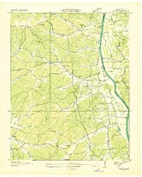
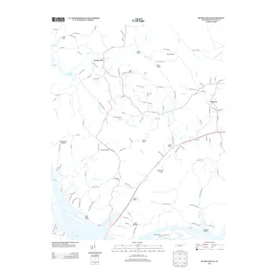
1951 Bumpus Mills
Stewart County, TN
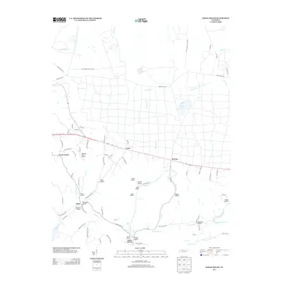
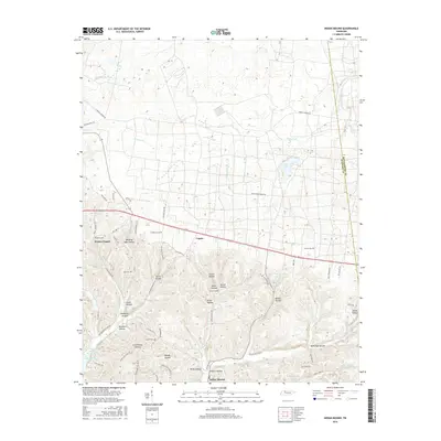
1951 Indian Mound
Stewart County, TN
1951 Tharpe
Stewart County, TN
1957 Bumpus Mills
Stewart County, TN
1957 Indian Mound
Stewart County, TN
1957 Model
Stewart County, TN
1957 Tharpe
Stewart County, TN
1999 Tharpe
Stewart County, TN
2010 Bumpus Mills
Stewart County, TN
2010 Indian Mound
Stewart County, TN
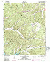
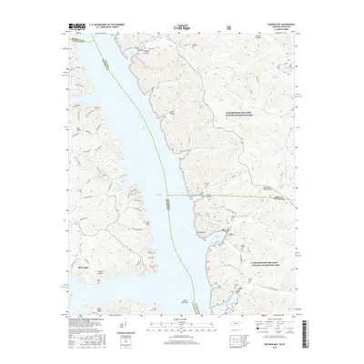
2011 Rushing Bay
Stewart County, TN
2011 Standing Rock
Stewart County, TN
2011 Tharpe
Stewart County, TN
2013 Bumpus Mills
Stewart County, TN
2013 Indian Mound
Stewart County, TN
2013 Rushing Bay
Stewart County, TN
2013 Standing Rock
Stewart County, TN
2013 Tharpe
Stewart County, TN
2016 Bumpus Mills
Stewart County, TN
2016 Indian Mound
Stewart County, TN
2016 Rushing Bay
Stewart County, TN
2016 Standing Rock
Stewart County, TN
2016 Tharpe
Stewart County, TN
2019 Bumpus Mills
Stewart County, TN
2019 Indian Mound
Stewart County, TN
2019 Rushing Bay
Stewart County, TN
2019 Standing Rock
Stewart County, TN
2019 Tharpe
Stewart County, TN
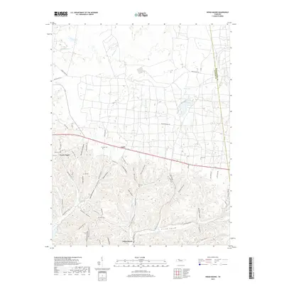
2022 Bumpus Mills
Stewart County, TN
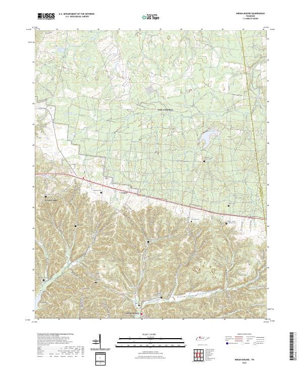
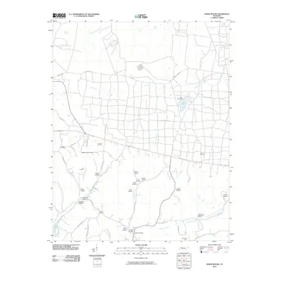
2022 Indian Mound
Stewart County, TN
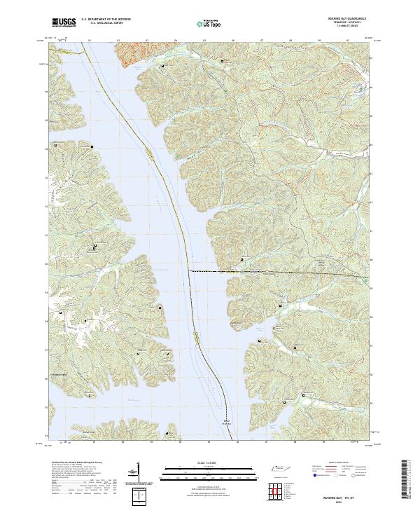
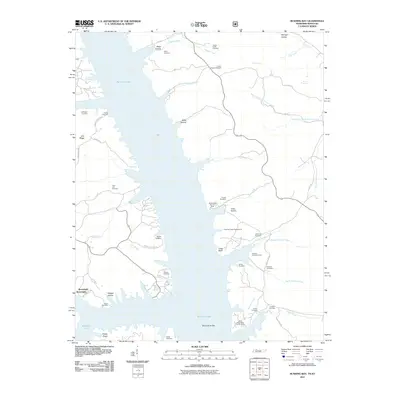
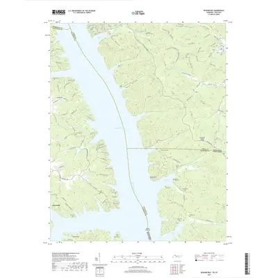
2022 Rushing Bay
Stewart County, TN
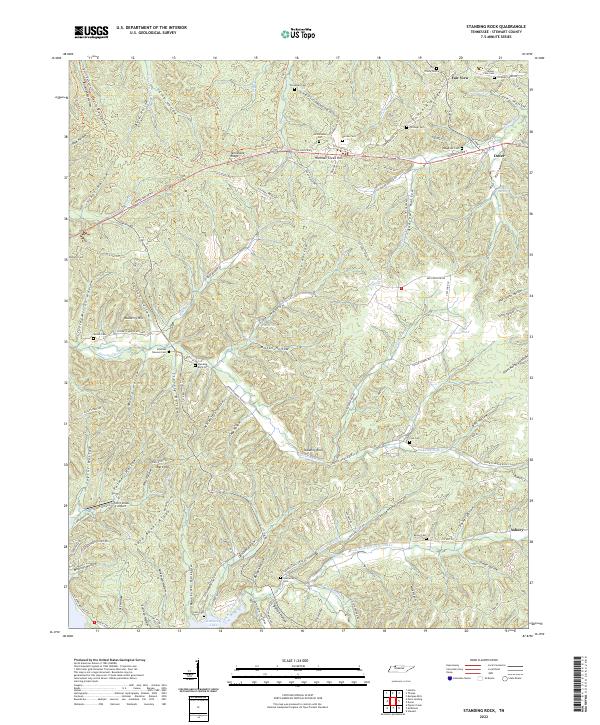
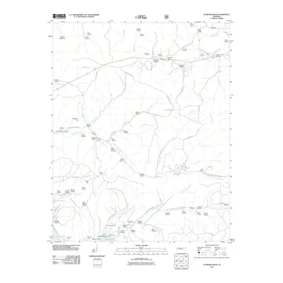
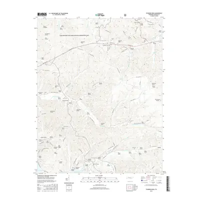
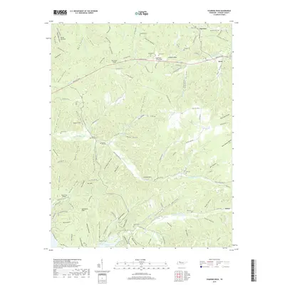
2022 Standing Rock
Stewart County, TN
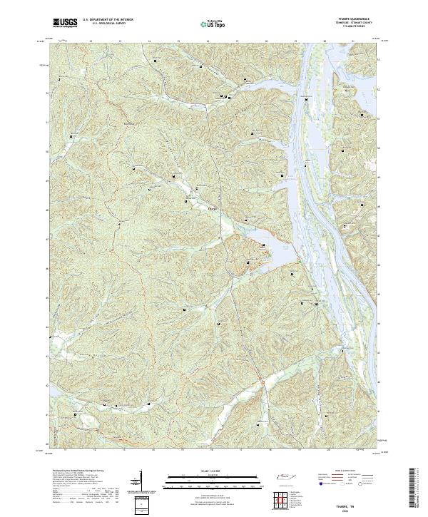
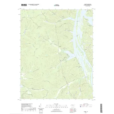
2022 Tharpe
Stewart County, TN