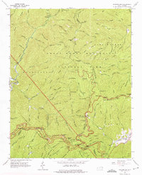
1964 Map of Bunches Bald
USGS Topo · Published 1975About this map
The Cherokee Indian Reservation and Great Smoky Mountains National Park meet in this mid-century topographic survey, where high ridges and deep forks define the boundary between Swain and Jackson counties. The landscape is dominated by the massive presence of Balsam Mountain and Cataloochee Ridge, segmented by the winding path of the Blue Ridge Parkway. This arterial road connects several engineering feats including the Big Witch Tunnel, Bunches Bald Tunnel, and Lickstone Tunnel.
Find a feature on this map
132 named features on this map. Tap any name to fly to it.
Don’t see what you’re looking for? This feature index may not catch every label — zoom into the map to look around manually.
Map Details
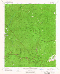
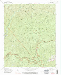
Editions of this 1964 Bunches Bald Map
3 editions found
Other maps of this area

1891 · Cowee
USGS Topo · 1:125,000

1893 · Mt Guyot
USGS Topo · 1:125,000

1897 · Cowee
USGS Topo · 1:125,000

1907 · Cowee
USGS Topo · 1:125,000

1912 · Mt Guyot
USGS Topo · 1:125,000

1933 · Bryson
USGS Topo · 1:62,500

1935 · Dellwood
USGS Topo · 1:24,000

1935 · Hazelwood
USGS Topo · 1:24,000

1935 · Addie
USGS Topo · 1:24,000

1936 · Bunches Bald
USGS Topo · 1:24,000