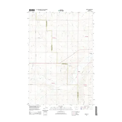
2014 Map of Bundy
USGS Topo · Published 2014About this map
The Musselshell River winds through the southern landscape of this central Montana survey, defining the topography alongside the small settlement of Bundy. This area, split between Golden Valley and Musselshell counties, demonstrates a rural economy tied to water management, as evidenced by the Egge Ditch and Glennie Ditch. The terrain is marked by several seasonal drainages, including Painted Robe Cr and Cottonwood Creek, which feed into the primary river system. A network of county and ranch roads, such as Ellis Rd and Anderson Rd, provides the essential infrastructure for this sparsely populated region. The map captures the intersection of traditional land survey lines, noted by labels for t7n r23e and t6n r24e, with the physical realities of the High Plains landscape in the early 21st century.
Find a feature on this map
26 named features on this map. Tap any name to fly to it.
Don’t see what you’re looking for? This feature index may not catch every label — zoom into the map to look around manually.
Map Details
Editions of this 2014 Bundy Map
This is the sole edition of this map. No revisions or reprints were ever made.
Other maps of this area

1954 · Roundup
USGS Topo · 1:250,000

1958 · Roundup
USGS Topo · 1:250,000

1979 · Roundup
USGS Topo · 1:100,000

1979 · Bundy
USGS Topo · 1:24,000

1979 · Lavina NW
USGS Topo · 1:24,000

1979 · Timber Buttes South
USGS Topo · 1:24,000

1979 · Lavina
USGS Topo · 1:24,000

1979 · Belmont
USGS Topo · 1:24,000

1979 · Elso
USGS Topo · 1:24,000

1979 · Horsethief Creek
USGS Topo · 1:24,000