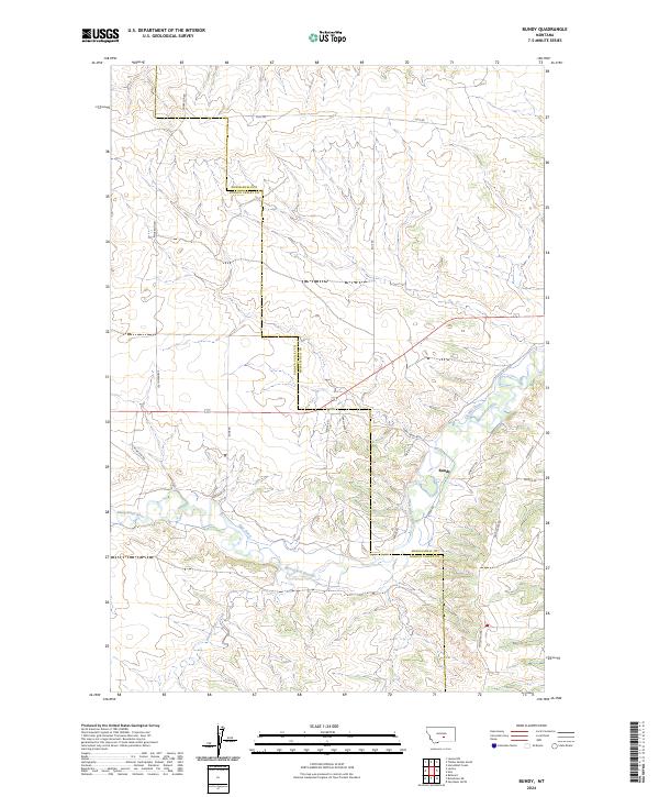
2024 Map of Bundy
USGS Topo · Published 2024About this map
The Musselshell River winds through this rural landscape at the border of Musselshell and Golden Valley counties. The small settlement of Bundy serves as a focal point for the surrounding ranching and agricultural lands, which are heavily dependent on water management systems like Glennie Ditch and Egge Ditch. These irrigation features imply a long history of water rights and land use adapted to the semi-arid conditions of the plains. The southern portion of the area is further defined by the drainage of Painted Robe Creek, while the road network, including family-named routes like Anderson Rd and Egge Rd, reflects the scattered homesteading pattern of central Montana. A series of small tracks and trails, such as Pioneer Trl and Dean Creek Rd, branch off into the undulating terrain, marking access points to remote sections of the river valley.
Find a feature on this map
21 named features on this map. Tap any name to fly to it.
Don’t see what you’re looking for? This feature index may not catch every label — zoom into the map to look around manually.
Map Details
Editions of this 2024 Bundy Map
This is the sole edition of this map. No revisions or reprints were ever made.
Other maps of this area

1954 · Roundup
USGS Topo · 1:250,000

1958 · Roundup
USGS Topo · 1:250,000

1979 · Roundup
USGS Topo · 1:100,000

1979 · Bundy
USGS Topo · 1:24,000

1979 · Lavina NW
USGS Topo · 1:24,000

1979 · Timber Buttes South
USGS Topo · 1:24,000

1979 · Lavina
USGS Topo · 1:24,000

1979 · Belmont
USGS Topo · 1:24,000

1979 · Elso
USGS Topo · 1:24,000

1979 · Horsethief Creek
USGS Topo · 1:24,000