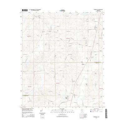
2015 Map of Bunker Hill
USGS Topo · Published 2015About this map
Bassfield anchors the northeastern corner of this 2015 survey, serving as a focal point for a landscape defined by small rural settlements and an extensive network of family-named cemeteries. Moving south into the headwaters of Holiday Cr, the communities of Ebenezer and Bunker Hill mark the transition across the border from Jefferson Davis County into Marion County. The terrain is deeply dissected by several branches, including the W Fork Greens Cr and E Fork Greens Cr, creating a series of ridges where the majority of the region's historical burial grounds are situated.
Find a feature on this map
98 named features on this map. Tap any name to fly to it.
Don’t see what you’re looking for? This feature index may not catch every label — zoom into the map to look around manually.
Map Details
Editions of this 2015 Bunker Hill Map
This is the sole edition of this map. No revisions or reprints were ever made.
Other maps of this area

1953 · Hattiesburg
USGS Topo · 1:250,000

1958 · Hattiesburg
USGS Topo · 1:250,000

1970 · Prentiss West
USGS Topo · 1:24,000

1970 · Bunker Hill
USGS Topo · 1:24,000

1970 · Morgantown
USGS Topo · 1:24,000

1970 · Oak Vale
USGS Topo · 1:24,000

1970 · Columbia North
USGS Topo · 1:24,000

1970 · Prentiss East
USGS Topo · 1:24,000

1974 · Bassfield
USGS Topo · 1:24,000

1974 · Lake Mike Connor
USGS Topo · 1:24,000