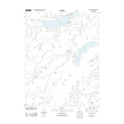
2012 Map of Bunker Hill
USGS Topo · Published 2012About this map
The Rubicon River and Middle Fork American River carve through this high-altitude landscape, defining a region dominated by significant water management and recreational infrastructure. Large catchments at French Meadows Reservoir and Hell Hole Reservoir anchor the topography, surrounded by a network of seasonal camps and named meadows that reflect the area's history of grazing and resource use. Notable landmarks include Bunker Hill and Wallace Peak, which rise above a series of flats such as Bunker Meadow and Gerle Meadow.
Find a feature on this map
43 named features on this map. Tap any name to fly to it.
Don’t see what you’re looking for? This feature index may not catch every label — zoom into the map to look around manually.
Map Details
Editions of this 2012 Bunker Hill Map
This is the sole edition of this map. No revisions or reprints were ever made.
Other maps of this area

1889 · Pyramid Peak
USGS Topo · 1:125,000

1891 · Colfax
USGS Topo · 1:125,000

1891 · Truckee
USGS Topo · 1:125,000

1891 · Placerville
USGS Topo · 1:125,000

1891 · Pyramid Peak
USGS Topo · 1:125,000

1892 · Placerville
USGS Topo · 1:125,000

1892 · Colfax
USGS Topo · 1:125,000

1893 · Placerville
USGS Topo · 1:125,000

1893 · Truckee
USGS Topo · 1:125,000

1894 · Colfax
USGS Topo · 1:125,000