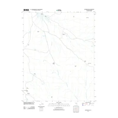
2012 Map of Bunker Peak
USGS Topo · Published 2012About this map
Wood Ranch and the simple encampment at Crow Corral anchor this corner of Lincoln County, defined by a critical network of livestock water infrastructure and seasonal drainages. The landscape is marked by numerous engineered catchments such as Mathews Canyon Reservoir, Rolling Hills Reservoir, and Marble Reservoir, which support life in this arid environment. These water sources are vital in a terrain where Mud Springs Wash and East Pine Wash carve deep paths through the high country.
Find a feature on this map
28 named features on this map. Tap any name to fly to it.
Don’t see what you’re looking for? This feature index may not catch every label — zoom into the map to look around manually.
Map Details
Editions of this 2012 Bunker Peak Map
This is the sole edition of this map. No revisions or reprints were ever made.
Other maps of this area

1885 · Pioche
USGS Topo · 1:250,000

1886 · Pioche
USGS Topo · 1:250,000

1954 · Caliente
USGS Topo · 1:250,000

1958 · Docs Pass
USGS Topo · 1:24,000

1959 · Caliente
USGS Topo · 1:250,000
1972 · Acoma
USGS Topo · 1:24,000
1972 · Pine Park
USGS Topo · 1:24,000
1972 · Islen
USGS Topo · 1:24,000
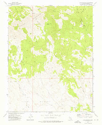
1973 · Jacks Mountain
USGS Topo · 1:24,000
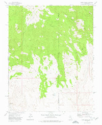
1973 · Dodge Spring
USGS Topo · 1:24,000