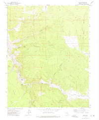
1972 Map of Islen
USGS Topo · Published 1975About this map
Islen sits at the junction of rugged canyon drainage and the heavy iron of the Union Pacific railroad in this Lincoln County corridor. The landscape is defined by the winding course of Clover Creek as it carves through deep limestone walls, passing a notable Cave and several critical desert water sources like Big Spring and Little Springs. To the east, the settlement of Barclay marks a quieter stop along the rail line near the mouth of Islen Canyon.
Find a feature on this map
23 named features on this map. Tap any name to fly to it.
Don’t see what you’re looking for? This feature index may not catch every label — zoom into the map to look around manually.
Map Details
Editions of this 1972 Islen Map
This is the sole edition of this map. No revisions or reprints were ever made.
Other maps of this area

1885 · Pioche
USGS Topo · 1:250,000

1886 · Pioche
USGS Topo · 1:250,000

1954 · Caliente
USGS Topo · 1:250,000

1959 · Caliente
USGS Topo · 1:250,000
1972 · Indian Cove
USGS Topo · 1:24,000
1972 · Mosey Mtn
USGS Topo · 1:24,000
1972 · Acoma
USGS Topo · 1:24,000
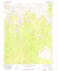
1972 · Eccles
USGS Topo · 1:24,000
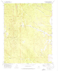
1972 · Dow Mountain
USGS Topo · 1:24,000

1973 · Ella Mountain
USGS Topo · 1:24,000