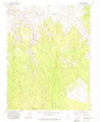
1972 Map of Eccles
USGS Topo · Published 1974About this map
Eccles sits at the northern edge of this high-desert terrain, serving as a primary point of interest along the Union Pacific railroad line that cuts through the northern canyons. The landscape is defined by the massive Clover Mountains, where the drainage patterns of English Canyon, Ash Canyon, and Barnes Canyon converge toward Clover Creek. These canyons are dotted with vital water sources such as Lower Ash Spring, Upper Ash Spring, and Oak Spring, which were essential for both early ranching and the maintenance of the rail corridor.
Find a feature on this map
25 named features on this map. Tap any name to fly to it.
Don’t see what you’re looking for? This feature index may not catch every label — zoom into the map to look around manually.
Map Details
Editions of this 1972 Eccles Map
This is the sole edition of this map. No revisions or reprints were ever made.
Other maps of this area

1885 · Pioche
USGS Topo · 1:250,000

1886 · Pioche
USGS Topo · 1:250,000

1954 · Caliente
USGS Topo · 1:250,000

1959 · Caliente
USGS Topo · 1:250,000

1969 · Elgin NE
USGS Topo · 1:24,000
1970 · Caliente
USGS Topo · 1:24,000
1970 · Chief Mountain
USGS Topo · 1:24,000
1972 · Indian Cove
USGS Topo · 1:24,000
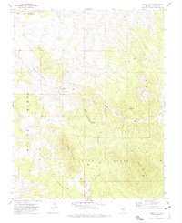
1972 · Mosey Mtn
USGS Topo · 1:24,000
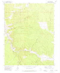
1972 · Islen
USGS Topo · 1:24,000