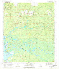
1970 Map of Bunker
USGS Topo · Published 1972About this map
Freeport sits at the northern edge of this coastal Florida landscape, where the sandy uplands give way to the complex hydrology of the Choctawhatchee Bay delta. The terrain is defined by a dense network of tributaries like Camp Creek and Black Creek, which feed into a maze of islands and cutoffs. The settlement of Bunker and the nearby Bunker Island highlight the importance of higher ground within the vast Devils Swamp. Cultural landmarks such as Black Creek Ch and a nearby Cem provide specific points of interest for genealogists tracing local families in this tidally influenced region.
Find a feature on this map
94 named features on this map. Tap any name to fly to it.
Don’t see what you’re looking for? This feature index may not catch every label — zoom into the map to look around manually.
Map Details
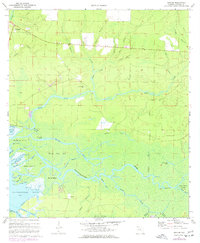
Editions of this 1970 Bunker Map
2 editions found
Other maps of this area

1935 · De Funiak Springs
USGS Topo · 1:48,000

1936 · Point Washington
USGS Topo · 1:48,000

1938 · De Funiak Springs
USGS Topo · 1:62,500

1939 · Point Washington
USGS Topo · 1:62,500

1943 · Seminole Hills
USGS Topo · 1:24,000

1944 · Seminole Hills
USGS Topo · 1:31,680

1944 · Bruce
USGS Topo · 1:24,000

1945 · Bruce
USGS Topo · 1:31,680

1949 · Redbay
USGS Topo · 1:24,000

1950 · Redbay
USGS Topo · 1:24,000