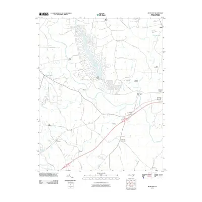
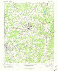
2010 Map of Bunn East
USGS Topo · Published 2010About this map
The Tar River and its numerous tributaries, including Cypress Creek and Turkey Creek, dictate the geography of this rural Franklin County landscape. In this 2010 survey, the area is characterized by a series of historic hubs known as crossroads, such as Tants Crossroads, Pace Crossroads, and Gold Valley Crossroads, which reflect the region's traditional settlement pattern. These intersections provided essential local connectivity before the development of modern thoroughfares like Old Us Highway 64.
Find a feature on this map
83 named features on this map. Tap any name to fly to it.
Don’t see what you’re looking for? This feature index may not catch every label — zoom into the map to look around manually.
Map Details
Editions of this 2010 Bunn East Map
This is the sole edition of this map. No revisions or reprints were ever made.
Other maps of this area
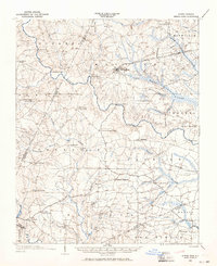
1902 · Spring Hope
USGS Topo · 1:62,500
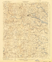
1904 · Springhope
USGS Topo · 1:62,500

1953 · Raleigh
USGS Topo · 1:250,000

1953 · Greensboro
USGS Topo · 1:250,000

1954 · Greensboro
USGS Topo · 1:250,000

1954 · Raleigh
USGS Topo · 1:250,000

1962 · Greensboro
USGS Topo · 1:250,000

1966 · Greensboro
USGS Topo · 1:250,000
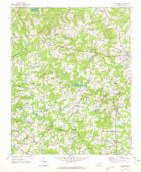
1968 · Bunn West
USGS Topo · 1:24,000
1968 · Zebulon
USGS Topo · 1:24,000