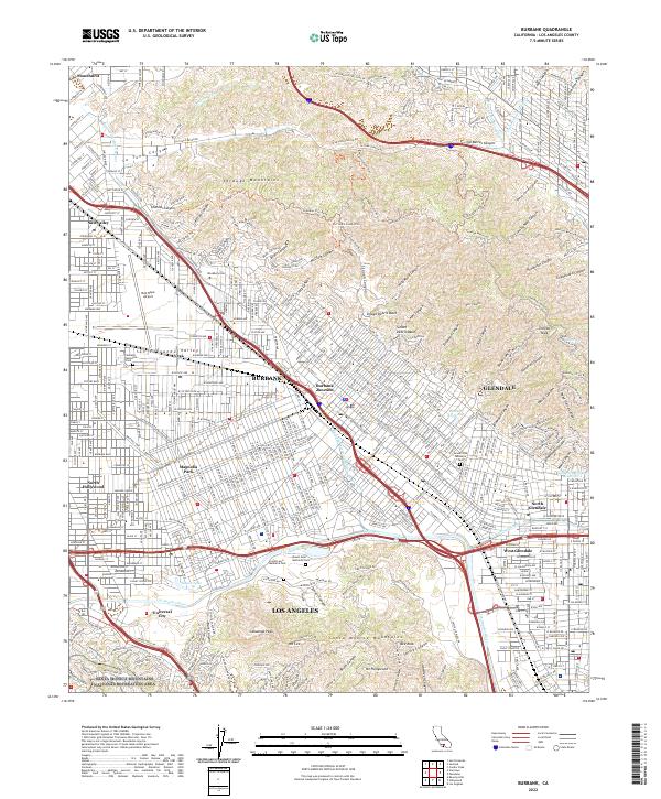
2022 Map of Burbank
USGS Topo · Published 2022About this map
Burbank and the southeastern Verdugo Mountains dominate this contemporary landscape, showing the dense residential and industrial grid that characterizes the eastern San Fernando Valley. The sheet highlights significant urban infrastructure and memorial sites, including the Bob Hope Airport and the sprawling grounds of Valhalla Memorial Park and Forest Lawn Memorial Park. These open green spaces and transit hubs contrast sharply with the steep, fire-road-crossed canyons like La Tuna Canyon Trail and Stough Canyon to the north.
Find a feature on this map
93 named features on this map. Tap any name to fly to it.
Don’t see what you’re looking for? This feature index may not catch every label — zoom into the map to look around manually.
Map Details
Editions of this 2022 Burbank Map
This is the sole edition of this map. No revisions or reprints were ever made.
Other maps of this area

1894 · Los Angeles
USGS Topo · 1:62,500

1896 · Pasadena
USGS Topo · 1:62,500

1896 · Santa Monica
USGS Topo · 1:62,500

1898 · Santa Monica
USGS Topo · 1:62,500

1900 · Pasadena
USGS Topo · 1:62,500

1900 · Tujunga
USGS Topo · 1:62,500

1900 · Los Angeles
USGS Topo · 1:62,500

1900 · Fernando
USGS Topo · 1:62,500

1901 · Southern California Sheet No. 1
USGS Topo · 1:250,000

1902 · Santa Monica
USGS Topo · 1:62,500