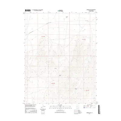
2017 Map of Burbank Pass
USGS Topo · Published 2017About this map
The Burbank Hills dominate this portion of Millard County, providing a stark topographical contrast to the northern reaches of the Ferguson Desert. This 2017 survey shows a landscape defined by high-elevation passes and drainage patterns, most notably where the Burbank Pass and Red Pass cut through the central highlands. Navigation through this arid terrain is facilitated by primitive corridors like the Black Rock-Chrystal Peak Rd and Chrystal Peak Rd, which follow the natural contours of the land. In the southeast, the Cedar Pass Wash serves as the primary hydrological feature, channeling seasonal runoff from the surrounding peaks. The map detail reflects a region largely untouched by dense settlement, where the grid of public land surveys and the geometry of township lines provide the only human-imposed structure over the desert and hills.
Find a feature on this map
11 named features on this map. Tap any name to fly to it.
Don’t see what you’re looking for? This feature index may not catch every label — zoom into the map to look around manually.
Map Details
Editions of this 2017 Burbank Pass Map
This is the sole edition of this map. No revisions or reprints were ever made.
Other maps of this area

1908 · Fish Springs
USGS Topo · 1:250,000

1910 · Fish Springs
USGS Topo · 1:250,000

1949 · Garrison
USGS Topo · 1:62,500

1951 · Garrison
USGS Topo · 1:62,500

1953 · Richfield
USGS Topo · 1:250,000

1953 · Delta
USGS Topo · 1:250,000

1956 · Lund
USGS Topo · 1:250,000

1956 · Ely
USGS Topo · 1:250,000

1958 · Richfield
USGS Topo · 1:250,000

1958 · Delta
USGS Topo · 1:250,000