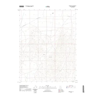
2020 Map of Burbank Pass
USGS Topo · Published 2020About this map
The Burbank Hills dominate this portion of Millard County, defining a landscape of high ridges and narrow desert crossings. Modern mapping reveals the complex topography surrounding Burbank Pass and Red Pass, which serve as primary natural conduits through the elevated terrain. To the north, the land levels into the Ferguson Desert, a stark contrast to the intricate contour lines of the southern peaks.
Find a feature on this map
7 named features on this map. Tap any name to fly to it.
Don’t see what you’re looking for? This feature index may not catch every label — zoom into the map to look around manually.
Map Details
Editions of this 2020 Burbank Pass Map
This is the sole edition of this map. No revisions or reprints were ever made.
Other maps of this area

1908 · Fish Springs
USGS Topo · 1:250,000

1910 · Fish Springs
USGS Topo · 1:250,000

1949 · Garrison
USGS Topo · 1:62,500

1951 · Garrison
USGS Topo · 1:62,500

1953 · Richfield
USGS Topo · 1:250,000

1953 · Delta
USGS Topo · 1:250,000

1956 · Lund
USGS Topo · 1:250,000

1956 · Ely
USGS Topo · 1:250,000

1958 · Richfield
USGS Topo · 1:250,000

1958 · Delta
USGS Topo · 1:250,000