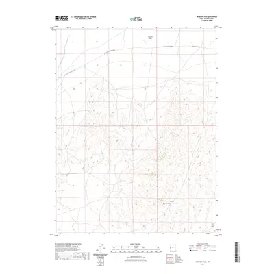
2023 Map of Burbank Pass
USGS Topo · Published 2023About this map
Ferguson Desert dominates the northern expanse of this Millard County landscape, where the arid basin meets the rising elevations of the Burbank Hills to the south. This 2023 survey illustrates a classic Basin and Range transition, defined largely by the seasonal drainage patterns of Cedar Pass Wash. Human presence is marked primarily by high-desert corridors like the Black Rock-Chrystal Peak Rd and the more focused Chrystal Peak Rd, which navigate the contours between the peaks and the desert floor. The map highlights critical natural pinch points in the terrain, such as Red Pass and Bk Pass, which likely dictated historical travel through this part of the West. The intricate contour lines around these passes provide a detailed look at the topographic obstacles faced by early travelers and modern surveyors alike in this corner of Utah.
Find a feature on this map
7 named features on this map. Tap any name to fly to it.
Don’t see what you’re looking for? This feature index may not catch every label — zoom into the map to look around manually.
Map Details
Editions of this 2023 Burbank Pass Map
This is the sole edition of this map. No revisions or reprints were ever made.
Other maps of this area

1908 · Fish Springs
USGS Topo · 1:250,000

1910 · Fish Springs
USGS Topo · 1:250,000

1949 · Garrison
USGS Topo · 1:62,500

1951 · Garrison
USGS Topo · 1:62,500

1953 · Richfield
USGS Topo · 1:250,000

1953 · Delta
USGS Topo · 1:250,000

1956 · Lund
USGS Topo · 1:250,000

1956 · Ely
USGS Topo · 1:250,000

1958 · Richfield
USGS Topo · 1:250,000

1958 · Delta
USGS Topo · 1:250,000