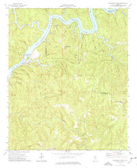
1974 Map of Burchfield Store
USGS Topo · Published 1976About this map
The Black Warrior River Bankhead Lake dominates this mid-1970s landscape, serving as a vital industrial and recreational artery at the border of Tuscaloosa and Jefferson counties. This era shows the river modified by the John Hollis Bankhead Lock and Dam, formerly Warrior Lock and Dam, which facilitated both a powerplant and public access at the Old Lock 16 Public Use Area.
Find a feature on this map
59 named features on this map. Tap any name to fly to it.
Don’t see what you’re looking for? This feature index may not catch every label — zoom into the map to look around manually.
Map Details
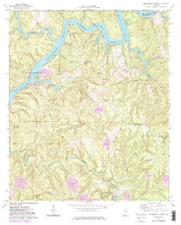
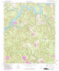
Editions of this 1974 Burchfield Store Map
3 editions found
Other maps of this area

1893 · Jasper
USGS Topo · 1:125,000

1899 · Brookwood
USGS Topo · 1:125,000

1927 · Adger
USGS Topo · 1:48,000

1929 · Searles
USGS Topo · 1:48,000

1932 · Yolande
USGS Topo · 1:62,500

1934 · Searles
USGS Topo · 1:62,500

1935 · Port Birmingham
USGS Topo · 1:48,000

1935 · Yolande
USGS Topo · 1:62,500

1938 · Port Birmingham
USGS Topo · 1:62,500

1949 · Tutwiler School
USGS Topo · 1:24,000