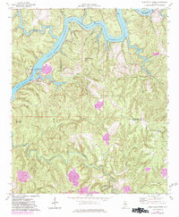
1974 Map of Burchfield Store
USGS Topo · Published 1983About this map
The Black Warrior River Bankhead Lake and Holt Lake dominate this landscape on the border of Tuscaloosa and Jefferson counties. The 1974 survey captures a period of industrial activity and utility expansion, evidenced by a Strip Mine in the south and various Pipeline and Conveyor routes crossing the terrain. The central community of Burchfield Store serves as a local landmark, while the John Hollis Bankhead Lock and Dam highlights the river's role in regional infrastructure.
Find a feature on this map
51 named features on this map. Tap any name to fly to it.
Don’t see what you’re looking for? This feature index may not catch every label — zoom into the map to look around manually.
Map Details
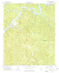
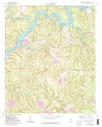
Editions of this 1974 Burchfield Store Map
3 editions found
Other maps of this area

1893 · Jasper
USGS Topo · 1:125,000

1899 · Brookwood
USGS Topo · 1:125,000

1927 · Adger
USGS Topo · 1:48,000

1929 · Searles
USGS Topo · 1:48,000

1932 · Yolande
USGS Topo · 1:62,500

1934 · Searles
USGS Topo · 1:62,500

1935 · Port Birmingham
USGS Topo · 1:48,000

1935 · Yolande
USGS Topo · 1:62,500

1938 · Port Birmingham
USGS Topo · 1:62,500

1949 · Tutwiler School
USGS Topo · 1:24,000