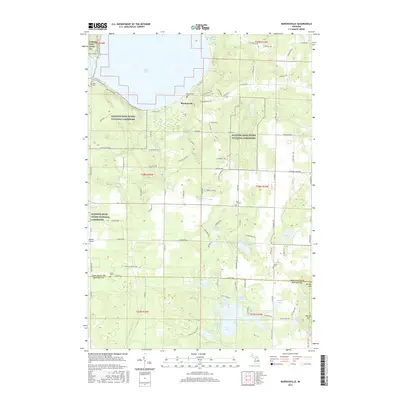
2017 Map of Burdickville
USGS Topo · Published 2017About this map
Sleeping Bear Dunes National Lakeshore dominates the northern and western sections of this landscape, reflecting a region defined by federal conservation and glacial geology. The settlement of Burdickville sits near the southeastern shore of Glen Lake, serving as a central point for local history researchers. The map reveals a high density of small burial sites across the township, including Burdickville Cem, Rose Hill Cem, and the Tobin Cem, providing essential data for genealogists tracking early families in Leelanau and Benzie counties. Moving south, the terrain transitions into a dense cluster of kettle lakes such as Pearl Lake, Lime Lake, and Garey Lake. The presence of the Shore to Shore Trail and the Empire Airport highlights the area's dual role as a recreation destination and a rural transportation hub at the time of the 2017 survey.
Find a feature on this map
96 named features on this map. Tap any name to fly to it.
Don’t see what you’re looking for? This feature index may not catch every label — zoom into the map to look around manually.
Map Details
Editions of this 2017 Burdickville Map
This is the sole edition of this map. No revisions or reprints were ever made.
Other maps of this area

1954 · Traverse City
USGS Topo · 1:250,000

1954 · Manitowoc
USGS Topo · 1:250,000

1956 · Thompsonville
USGS Topo · 1:62,500

1956 · Frankfort
USGS Topo · 1:62,500

1957 · Empire
USGS Topo · 1:62,500

1957 · Maple City
USGS Topo · 1:62,500

1958 · Traverse City
USGS Topo · 1:250,000

1958 · Manitowoc
USGS Topo · 1:250,000

1976 · Thompsonville NE
USGS Topo · 1:24,000

1976 · Thompsonville NW
USGS Topo · 1:24,000