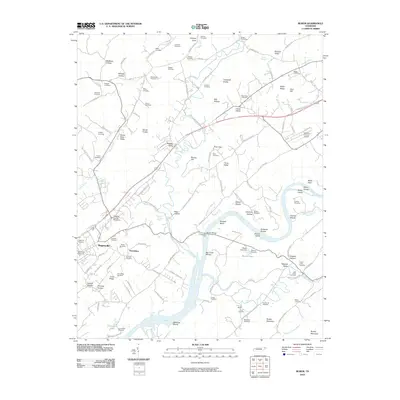
2010 Map of Burem
USGS Topo · Published 2010About this map
Rogersville serves as the primary hub of this landscape, situated near a dense network of country roads and historical cemeteries. The Holston River winds through the center of the sheet, defined by numerous named shoals including Big Creek Shoals and Charles Shoals. A unique hydrological feature, the Ebbing and Flowing Spring, is found north of Petersburg, illustrating the area's complex karst topography. The river's influence is evident in the presence of Burem Island and the Burem Lake Dam, which regulate the waterway near the Burem Bridge. Family history is deeply rooted here, with over two dozen named burial sites such as the Highland Cemetery and the Powell Jones Cemetery. The area is also marked by transit history, from the Old Stage Rd to the modern Hawkins County Airport.
Find a feature on this map
140 named features on this map. Tap any name to fly to it.
Don’t see what you’re looking for? This feature index may not catch every label — zoom into the map to look around manually.
Map Details
Editions of this 2010 Burem Map
This is the sole edition of this map. No revisions or reprints were ever made.
Other maps of this area

1883 · Morristown
USGS Topo · 1:125,000

1887 · Jonesville
USGS Topo · 1:125,000

1891 · Jonesville
USGS Topo · 1:125,000

1892 · Greeneville
USGS Topo · 1:125,000

1893 · Morristown
USGS Topo · 1:125,000

1894 · Estillville
USGS Topo · 1:125,000

1895 · Morristown
USGS Topo · 1:125,000

1896 · Greeneville
USGS Topo · 1:125,000

1904 · Greeneville
USGS Topo · 1:125,000

1935 · Surgoinsville
USGS Topo · 1:48,000