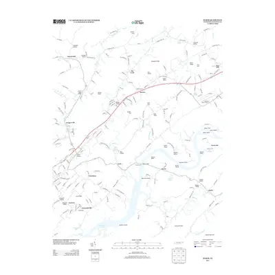
2013 Map of Burem
USGS Topo · Published 2013About this map
Burem and the Holston River dominate this landscape, where the river's winding course creates distinct geographic features like Bussels Bend and the large Burem Island. The waterway's historical importance for navigation and early industry is marked by numerous shoals, including Big Creek Shoals, Spears Shoals, and Burhams Shoals. On the northern bank, the Hawkins County Airport sits near the base of Miller Ridge, showing the modern infrastructure alongside older settlements.
Find a feature on this map
201 named features on this map. Tap any name to fly to it.
Don’t see what you’re looking for? This feature index may not catch every label — zoom into the map to look around manually.
Map Details
Editions of this 2013 Burem Map
This is the sole edition of this map. No revisions or reprints were ever made.
Other maps of this area

1883 · Morristown
USGS Topo · 1:125,000

1887 · Jonesville
USGS Topo · 1:125,000

1891 · Jonesville
USGS Topo · 1:125,000

1892 · Greeneville
USGS Topo · 1:125,000

1893 · Morristown
USGS Topo · 1:125,000

1894 · Estillville
USGS Topo · 1:125,000

1895 · Morristown
USGS Topo · 1:125,000

1896 · Greeneville
USGS Topo · 1:125,000

1904 · Greeneville
USGS Topo · 1:125,000

1935 · Surgoinsville
USGS Topo · 1:48,000