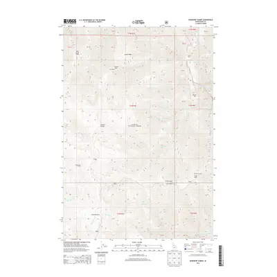
2013 Map of Burgdorf Summit
USGS Topo · Published 2013About this map
Payette National Forest dominates this mountain landscape, which was documented by the U.S. Geological Survey in 2013. The terrain is defined by high-elevation points such as Burgdorf Summit and Nelson Point, with the South Fork Salmon River cutting through the northeastern corner. This map serves as a detailed guide for back-country navigation, highlighting critical infrastructure such as the Mill Lookout and Smith Knob Lookout.
Find a feature on this map
43 named features on this map. Tap any name to fly to it.
Don’t see what you’re looking for? This feature index may not catch every label — zoom into the map to look around manually.
Map Details
Editions of this 2013 Burgdorf Summit Map
This is the sole edition of this map. No revisions or reprints were ever made.
Other maps of this area

1937 · Big Creek
USGS Topo · 1:48,000

1942 · Big Creek
USGS Topo · 1:62,500

1956 · Warren
USGS Topo · 1:62,500

1956 · Elk City
USGS Topo · 1:250,000

1960 · Elk City
USGS Topo · 1:250,000

1969 · Pony Meadows
USGS Topo · 1:24,000

1969 · Wolf Fang Peak
USGS Topo · 1:24,000

1969 · Pilot Peak
USGS Topo · 1:24,000

1978 · Chicken Peak
USGS Topo · 1:24,000

1979 · Fivemile Bar
USGS Topo · 1:24,000