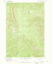
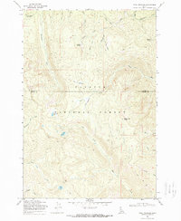
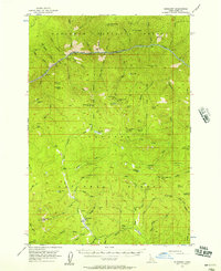
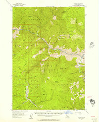
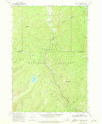
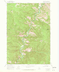
1969 Map of Pony Meadows
USGS Topo · Published 1971About this map
Payette National Forest dominates this high-elevation terrain in the Salmon River Mountains during the late 1960s. The landscape is defined by the headwaters of numerous drainages, including Steamboat Creek, Warren Creek, and the uniquely named Whangdoodle Creek. Evidence of early resource extraction is preserved through labels for a Mine near Keystone Meadows and the various packing routes that cross the ridgelines.
Find a feature on this map
32 named features on this map. Tap any name to fly to it.
Don’t see what you’re looking for? This feature index may not catch every label — zoom into the map to look around manually.
Map Details
Editions of this 1969 Pony Meadows Map
2 editions found
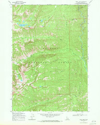
Other maps of this area
1956 · Burgdorf
USGS Topo · 1:62,500
1956 · Warren
USGS Topo · 1:62,500

1956 · Elk City
USGS Topo · 1:250,000

1960 · Elk City
USGS Topo · 1:250,000
1969 · Loon Lake
USGS Topo · 1:24,000
1969 · Enos Lake
USGS Topo · 1:24,000
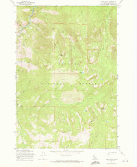
1969 · Parks Peak
USGS Topo · 1:24,000
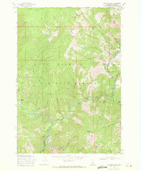
1969 · Williams Peak
USGS Topo · 1:24,000
1969 · Pilot Peak
USGS Topo · 1:24,000
1981 · Warren
USGS Topo · 1:100,000