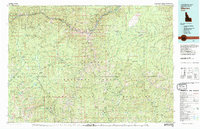
1981 Map of Warren
USGS Topo · Published 1981About this map
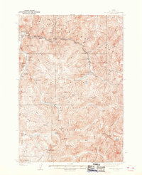
Salmon River carving through the heart of the Payette National Forest and Nez Perce National Forest defines the remote character of this region. The landscape is dotted with legacies of the central Idaho mining era, including the Bullion Mine, Sherman Howe Mine, and Golden Anchor Mine. Small mountain settlements like Warren and Burgdorf serve as rare points of human habitation amidst the expansive Gospel Hump Wilderness and the Big River of No Return Wilderness. The map reveals a complex network of high-elevation passes such as Burgdorf Summit and Warren Summit, which historically connected these isolated mining camps. Numerous watercourses like the Secesh River and Big Creek drain the Salmon River Mountains, tracing the difficult routes traveled by prospectors and early settlers in the Chamberlain Basin.
Find a feature on this map
128 named features on this map. Tap any name to fly to it.
Don’t see what you’re looking for? This feature index may not catch every label — zoom into the map to look around manually.
Map Details
Editions of this 1981 Warren Map
This is the sole edition of this map. No revisions or reprints were ever made.
Other maps of this area

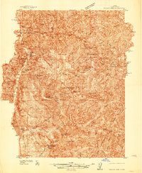
1911 · Meadows
USGS Topo · 1:125,000
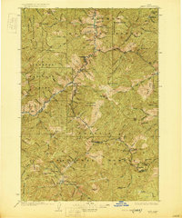
1930 · Casto
USGS Topo · 1:125,000

1931 · Buffalo Hump
USGS Topo · 1:125,000

1934 · Buffalo Hump
USGS Topo · 1:125,000
1937 · Yellow Pine
USGS Topo · 1:48,000
1937 · Big Creek
USGS Topo · 1:48,000

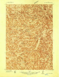
1938 · Riggins
USGS Topo · 1:96,000

1942 · Big Creek
USGS Topo · 1:62,500
1943 · Yellow Pine
USGS Topo · 1:62,500

1945 · Riggins
USGS Topo · 1:125,000