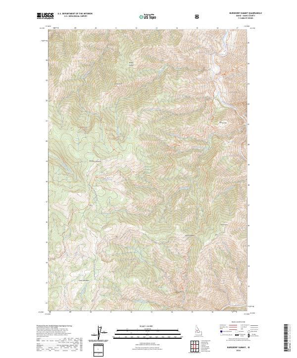
2024 Map of Burgdorf Summit
USGS Topo · Published 2024About this map
Faust Meadows and the high ridges of the Payette National Forest characterize this part of Idaho, where steep drainages feed the South Fork Salmon River. The landscape is a network of named peaks and high passes, including Burgdorf Summit, Round Mtn, and the distinctive Smith Knob. Transportation through this backcountry relies on a system of established paths like the Nelson Point Trl and the S/F Salmon River Trl, reflecting the historical movement of foresters and packers through the Idaho wilderness.
Find a feature on this map
40 named features on this map. Tap any name to fly to it.
Don’t see what you’re looking for? This feature index may not catch every label — zoom into the map to look around manually.
Map Details
Editions of this 2024 Burgdorf Summit Map
This is the sole edition of this map. No revisions or reprints were ever made.
Other maps of this area

1937 · Big Creek
USGS Topo · 1:48,000

1942 · Big Creek
USGS Topo · 1:62,500

1956 · Warren
USGS Topo · 1:62,500

1956 · Elk City
USGS Topo · 1:250,000

1960 · Elk City
USGS Topo · 1:250,000

1969 · Pony Meadows
USGS Topo · 1:24,000

1969 · Wolf Fang Peak
USGS Topo · 1:24,000

1969 · Pilot Peak
USGS Topo · 1:24,000

1978 · Chicken Peak
USGS Topo · 1:24,000

1979 · Fivemile Bar
USGS Topo · 1:24,000