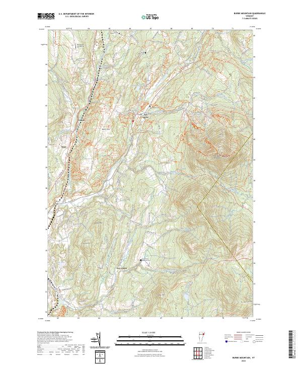
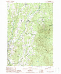
2024 Map of Burke Mountain
USGS Topo · Published 2024About this map
West Peak Burke Mountain and the surrounding peaks of the Green Mountain State define this portion of Caledonia County. The landscape is carved by the West Branch Passumpsic River and the East Branch Passumpsic River, which converge near the village of East Burke. These waterways, along with numerous smaller tributaries like Dish Mill Brook and Mountain Brook, have historically dictated the placement of roads and settlements in this high-elevation terrain.
Find a feature on this map
39 named features on this map. Tap any name to fly to it.
Don’t see what you’re looking for? This feature index may not catch every label — zoom into the map to look around manually.
Map Details
Editions of this 2024 Burke Mountain Map
This is the sole edition of this map. No revisions or reprints were ever made.
Historical Maps of East Burke Through Time
17 maps found

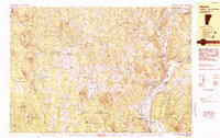
1938 St. Johnsbury
Caledonia County, VT

1943 St. Johnsbury
Caledonia County, VT
1949 St. Johnsbury
Caledonia County, VT
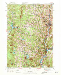
1967 Concord
Caledonia County, VT
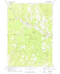
1973 Groton
Caledonia County, VT
1983 Barnet
Caledonia County, VT
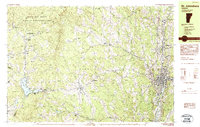
1983 St. Johnsbury
Caledonia County, VT
1986 Stannard
Caledonia County, VT
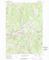
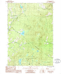
1988 Burke Mountain
Caledonia County, VT
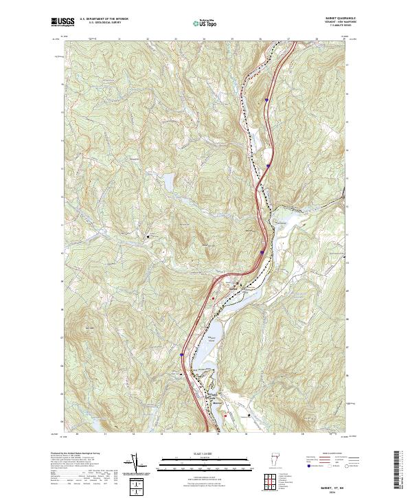
2024 Barnet
Caledonia County, VT
2024 Burke Mountain
Caledonia County, VT
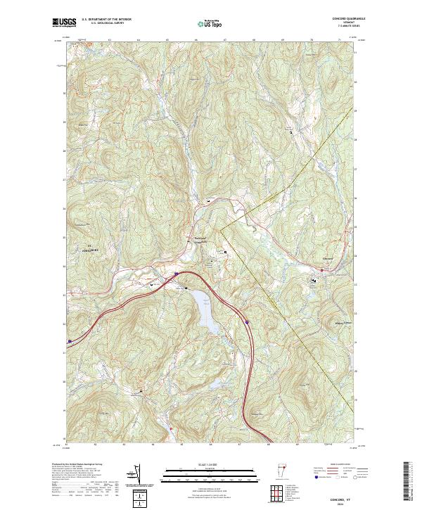
2024 Concord
Caledonia County, VT
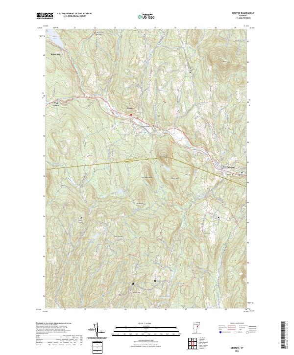
2024 Groton
Caledonia County, VT
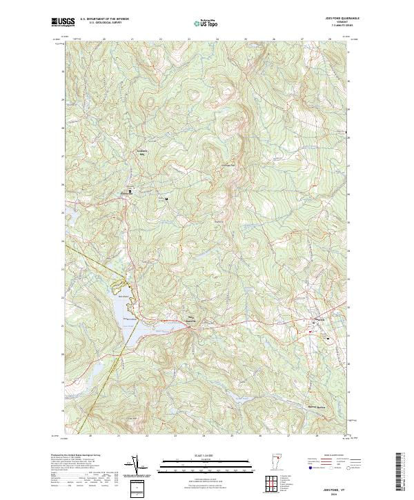
2024 Joes Pond
Caledonia County, VT
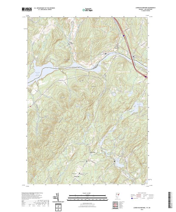
2024 Lower Waterford
Caledonia County, VT
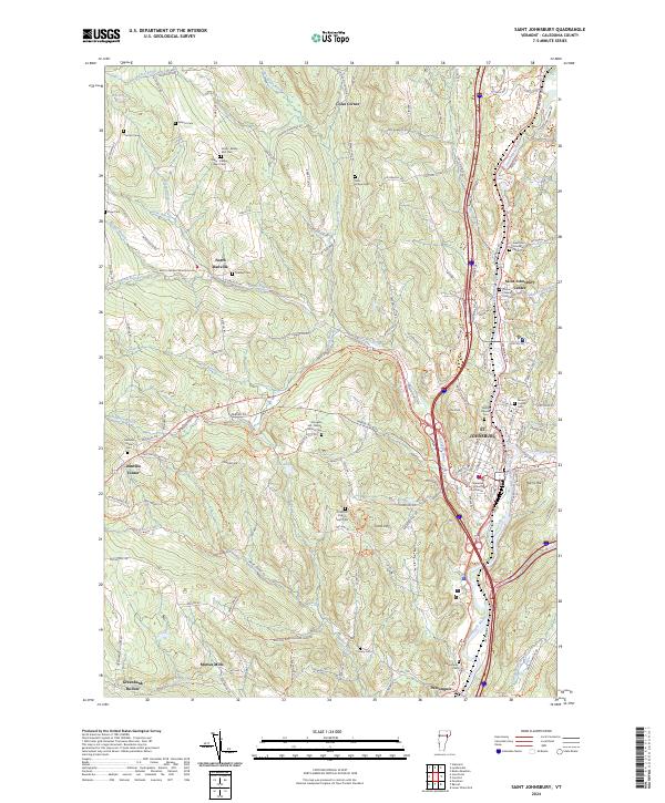
2024 Saint Johnsbury
Caledonia County, VT
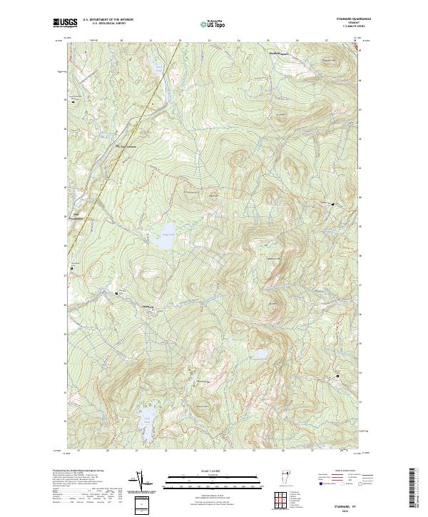
2024 Stannard
Caledonia County, VT