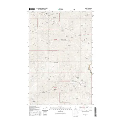
2013 Map of Burke
USGS Topo · Published 2013About this map
Canyon Cr carves a path through the southern portion of this region, anchoring a series of small mountain settlements including Mace, Burke, and Black Bear. This area within the Coeur d'Alene National Forest represents a landscape defined by narrow gulches and steep ridgelines, where human habitation is tightly constrained by the terrain. Further west, the communities of Frisco and Gem sit along the drainage, while Cornwall is positioned just east of the mountain spurs. To the north, the drainage of Prichard Cr serves as a secondary corridor, passing by the settlement of Raven and the Murray Cem. The map illustrates a network of forest roads and national forest development routes that provide access to high-elevation features like Goose Peak and Tamarack Saddle, reflecting a modern era of timber management and recreation in a region once famous for its deep-earth mineral extraction.
Find a feature on this map
70 named features on this map. Tap any name to fly to it.
Don’t see what you’re looking for? This feature index may not catch every label — zoom into the map to look around manually.
Map Details
Editions of this 2013 Burke Map
This is the sole edition of this map. No revisions or reprints were ever made.
Other maps of this area

1901 · Coeur D'Alene District
USGS Topo · 1:62,500

1903 · Coeur D'Alene District
USGS Topo · 1:62,500

1906 · Coeur D'Alene District
USGS Topo · 1:62,500

1914 · Avery
USGS Topo · 1:125,000

1917 · Avery
USGS Topo · 1:125,000

1932 · Trout Creek
USGS Topo · 1:125,000

1935 · Trout Creek
USGS Topo · 1:125,000

1936 · Trout Creek
USGS Topo · 1:125,000

1956 · Cooper Gulch
USGS Topo · 1:62,500

1956 · Saltese
USGS Topo · 1:62,500